Earthquake Southern Sumatra, Indonesia
Fri, 13 Feb 2026 15:01:44 GMT
Time6 days ago
Location
-3.3757, 102.3926
Depth
3.8 KM
Event Summary
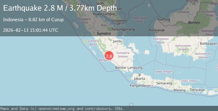
A 2.8 magnitude earthquake struck on Southern Sumatra, Indonesia, at Fri, 13 Feb 2026 15:01:44 GMT. Depth: 3.772477km. Reviewed by BMKG seismologists, this minor quake occurred at a magnitude type of M.
Magnitude
2.8
M
Source
BMKG
Intensity
-
Agency Reports
1 Sources| Source | Magnitude | Depth | Time |
|---|---|---|---|
| BMKGPrimary | 2.8 | 4 km | 6 days ago |
Earthquake Details
ManualEvent IDbmg2026dbsj
Tsunami PotentialNo
Magnitude TypeM
Nearest Places
- Desa Sumberejo Transad2.1 km
- Bukit Daun2.1 km
- Desa Sentral Baru3.0 km
- Telaga Bukit Daun3.0 km
- Desa Air Bening5.0 km
Comments
Join the discussion about this event.
Latest Earthquakes
1.4Mag
53 km E of McCarthy, Alaska
Time11 hours ago
Depth5.00 km
SourceUSGS (Automatic)
2.4Mag
38 km WSW of Empire, Nevada
Time11 hours ago
Depth7.86 km
SourceUSGS (Automatic)
1.8Mag
23 km ENE of San Ardo, CA
Time11 hours ago
Depth-0.74 km
SourceUSGS (Automatic)
4.2Mag
NEAR EAST COAST OF HONSHU, JAPAN
Time11 hours ago
Depth30.00 km
SourceJMA (Automatic)
1.1Mag
Fox Islands, Aleutian Islands, Alaska
Time11 hours ago
Depth0.00 km
SourceVYT (Automatic)
Nearby Earthquakes
3.0Mag
SOUTHERN SUMATRA, INDONESIA
Time5 years ago
Depth10.00 km
SourceDJA (Automatic)
4.0Mag
SOUTHERN SUMATRA, INDONESIA
Time5 years ago
Depth10.00 km
SourceDJA (Automatic)
3.0Mag
SOUTHERN SUMATRA, INDONESIA
Time5 years ago
Depth11.00 km
SourceDJA (Automatic)
5.1Mag
SOUTHERN SUMATRA, INDONESIA
Time7 years ago
Depth128.00 km
SourceEMSC (Automatic)
3.0Mag
SOUTHERN SUMATRA, INDONESIA
Time1 year ago
Depth10.00 km
SourceBMKG (Automatic)