Earthquake Northern Molucca Sea
Sat, 14 Feb 2026 00:50:27 GMT
Time5 days ago
Location
1.0716, 126.3516
Depth
33.0 KM
Event Summary
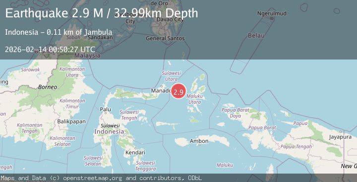
A 2.9 magnitude earthquake struck on Northern Molucca Sea, at Sat, 14 Feb 2026 00:50:27 GMT. Depth: 32.994186km. Reviewed by BMKG seismologists, this minor quake occurred at a magnitude type of M.
Magnitude
2.9
M
Source
BMKG
Intensity
-
Agency Reports
1 Sources| Source | Magnitude | Depth | Time |
|---|---|---|---|
| BMKGPrimary | 2.9 | 33 km | 5 days ago |
Earthquake Details
ManualEvent IDbmg2026dclu
Tsunami PotentialNo
Magnitude TypeM
Nearest Places
- Tanjung Geranomaderi22.0 km
- Pulau Gureda24.6 km
- Kelurahan Tifure25.7 km
- Pulau Tifore25.9 km
- Kelurahan Pantai Sagu26.2 km
Comments
Join the discussion about this event.
Latest Earthquakes
1.0Mag
29 km W of Garden City, Texas
Time4 hours ago
Depth3.03 km
SourceUSGS (Automatic)
2.1Mag
6 km NE of Beaverdam, Nevada
Time4 hours ago
Depth11.45 km
SourceUSGS (Automatic)
3.4Mag
NORTH ISLAND OF NEW ZEALAND
Time4 hours ago
Depth146.90 km
SourceGNS (Automatic)
2.6Mag
WESTERN TURKEY
Time4 hours ago
Depth7.30 km
SourceKOERI (Automatic)
3.7Mag
YUNNAN, CHINA
Time4 hours ago
Depth10.00 km
SourceTSB (Automatic)
Nearby Earthquakes
5.5Mag
MOLUCCA SEA
Time19 years ago
Depth10.00 km
SourceEMSC (Automatic)
5.2Mag
MOLUCCA SEA
Time16 years ago
Depth53.00 km
SourceEMSC (Automatic)
6.1Mag
MOLUCCA SEA
Time19 years ago
Depth2.00 km
SourceEMSC (Automatic)
5.7Mag
MOLUCCA SEA
Time19 years ago
Depth10.00 km
SourceEMSC (Automatic)
5.5Mag
MOLUCCA SEA
Time19 years ago
Depth2.00 km
SourceEMSC (Automatic)