Earthquake Minahassa Peninsula, Sulawesi
Sat, 14 Feb 2026 07:20:24 GMT
Time4 days ago
Location
-0.7860, 122.1860
Depth
6.1 KM
Event Summary
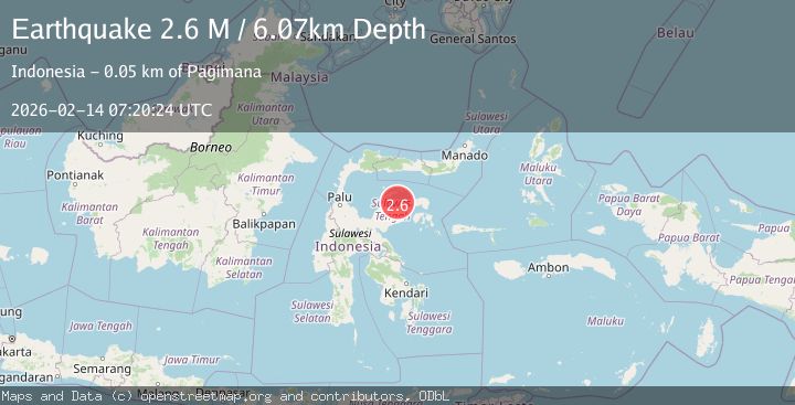
A 2.6 magnitude earthquake struck on Minahassa Peninsula, Sulawesi, at Sat, 14 Feb 2026 07:20:24 GMT. Depth: 6.06537km. Reviewed by BMKG seismologists, this minor quake occurred at a magnitude type of M.
Magnitude
2.6
M
Source
BMKG
Intensity
-
Agency Reports
1 Sources| Source | Magnitude | Depth | Time |
|---|---|---|---|
| BMKGPrimary | 2.6 | 6 km | 4 days ago |
Earthquake Details
ManualEvent IDbmg2026dcyr
Tsunami PotentialNo
Magnitude TypeM
Nearest Places
- Tanjung Komponyu1.8 km
- Tanjung Komponyu1.8 km
- Ngelon2.0 km
- Pongian2.8 km
- Ue Pongian2.8 km
Comments
Join the discussion about this event.
Latest Earthquakes
2.4Mag
Finland-Russia border region
Time1 minute ago
Depth341.92 km
SourceVYT (Automatic)
0.9Mag
8 km W of Cobb, CA
Time6 minutes ago
Depth1.53 km
SourceUSGS (Automatic)
1.8Mag
Central Alaska
Time9 minutes ago
Depth2.08 km
SourceVYT (Automatic)
2.9Mag
WESTERN TURKEY
Time12 minutes ago
Depth11.80 km
SourceKOERI (Automatic)
2.8Mag
Sulawesi, Indonesia
Time12 minutes ago
Depth21.08 km
SourceBMKG
Nearby Earthquakes
3.8Mag
Minahassa Peninsula, Sulawesi
Time0 months ago
Depth7.27 km
SourceBMKG (Automatic)
3.0Mag
SULAWESI, INDONESIA
Time5 years ago
Depth10.00 km
SourceDJA (Automatic)
3.4Mag
Minahassa Peninsula, Sulawesi
Time2 weeks ago
Depth10.00 km
SourceBMKG (Automatic)
2.6Mag
SULAWESI, INDONESIA
Time1 month ago
Depth2.00 km
SourceBMKG (Automatic)
4.0Mag
SULAWESI, INDONESIA
Time7 years ago
Depth10.00 km
SourceDJA (Automatic)