Earthquake Seram, Indonesia
Sat, 14 Feb 2026 14:42:38 GMT
Time3 days ago
Location
-3.0291, 128.0390
Depth
3.1 KM
Event Summary
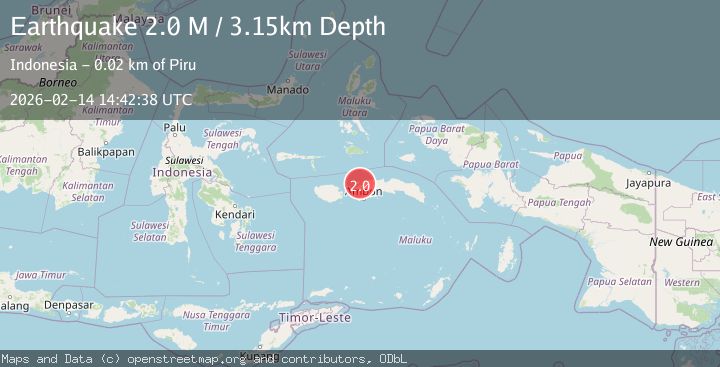
A 2.0 magnitude earthquake struck on Seram, Indonesia, at Sat, 14 Feb 2026 14:42:38 GMT. Depth: 3.14878km. Reviewed by BMKG seismologists, this minor quake occurred at a magnitude type of M.
Magnitude
2.0
M
Source
BMKG
Intensity
-
Agency Reports
1 Sources| Source | Magnitude | Depth | Time |
|---|---|---|---|
| BMKGPrimary | 2.0 | 3 km | 3 days ago |
Earthquake Details
ManualEvent IDbmg2026ddng
Tsunami PotentialNo
Magnitude TypeM
Nearest Places
- Pulau Mersegu3.0 km
- Pulau Burung4.0 km
- Pulau Ose4.0 km
- Pulau Tatobobensin4.3 km
- Pulau Tatobosurati4.5 km
Comments
Join the discussion about this event.
Latest Earthquakes
2.3Mag
Tarapaca, Chile
Time1 hour ago
Depth114.14 km
SourceVYT (Automatic)
2.1Mag
Southern Alaska
Time1 hour ago
Depth67.26 km
SourceVYT (Automatic)
2.2Mag
western Russia
Time1 hour ago
Depth0.00 km
SourceVYT (Automatic)
1.5Mag
4 km NNW of The Geysers, CA
Time1 hour ago
Depth-0.27 km
SourceUSGS (Automatic)
1.0Mag
9 km WNW of Two Rivers, Alaska
Time1 hour ago
Depth5.70 km
SourceUSGS (Automatic)
Nearby Earthquakes
3.0Mag
SERAM, INDONESIA
Time2 years ago
Depth32.00 km
SourceDJA (Automatic)
3.0Mag
SERAM, INDONESIA
Time2 years ago
Depth16.00 km
SourceBMKG (Automatic)
3.0Mag
CERAM SEA, INDONESIA
Time2 years ago
Depth18.00 km
SourceDJA (Automatic)
5.0Mag
CERAM SEA, INDONESIA
Time11 years ago
Depth52.00 km
SourceEMSC (Automatic)
4.0Mag
CERAM SEA, INDONESIA
Time4 years ago
Depth10.00 km
SourceDJA (Automatic)