Earthquake Northern Sumatra, Indonesia
Sun, 15 Feb 2026 02:40:43 GMT
Time3 days ago
Location
1.7610, 97.3761
Depth
4.5 KM
Event Summary
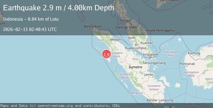
A 2.9 magnitude earthquake struck on Northern Sumatra, Indonesia, at Sun, 15 Feb 2026 02:40:43 GMT. Depth: 4.472673km. Reviewed by BMKG seismologists, this minor quake occurred at a magnitude type of M.
Magnitude
2.9
M
Source
BMKG
Intensity
-
Agency Reports
1 Sources| Source | Magnitude | Depth | Time |
|---|---|---|---|
| BMKGPrimary | 2.9 | 4 km | 3 days ago |
Earthquake Details
ManualEvent IDbmg2026deky
Tsunami PotentialNo
Magnitude TypeM
Nearest Places
- Pulau Sarangbaung10.1 km
- Desa Seriwa’u10.3 km
- Bayangan10.4 km
- Pulau Sarangalu24.5 km
- Tanjung Ginigini24.6 km
Comments
Join the discussion about this event.
Latest Earthquakes
1.4Mag
EASTERN TURKEY
Time7 minutes ago
Depth6.80 km
SourceAFAD (Automatic)
1.7Mag
northern Alaska
Time8 minutes ago
Depth4.64 km
SourceVYT (Automatic)
1.2Mag
5 km WNW of The Geysers, CA
Time13 minutes ago
Depth3.19 km
SourceUSGS (Automatic)
3.4Mag
Sulawesi, Indonesia
Time16 minutes ago
Depth27.95 km
SourceVYT (Automatic)
1.6Mag
Central Alaska
Time18 minutes ago
Depth18.07 km
SourceVYT (Automatic)
Nearby Earthquakes
3.0Mag
NIAS REGION, INDONESIA
Time4 years ago
Depth10.00 km
SourceDJA (Automatic)
5.1Mag
NIAS REGION, INDONESIA
Time20 years ago
Depth33.00 km
SourceEMSC (Automatic)
5.4Mag
NIAS REGION, INDONESIA
Time20 years ago
Depth200.00 km
SourceEMSC (Automatic)
6.1Mag
NIAS REGION, INDONESIA
Time20 years ago
Depth33.00 km
SourceEMSC (Automatic)
5.3Mag
NIAS REGION, INDONESIA
Time20 years ago
Depth33.00 km
SourceEMSC (Automatic)