Earthquake West Papua Region, Indonesia
Sun, 15 Feb 2026 15:46:29 GMT
Time3 days ago
Location
-2.3966, 136.2462
Depth
10.0 KM
Event Summary
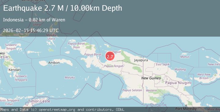
A 2.7 magnitude earthquake struck on West Papua Region, Indonesia, at Sun, 15 Feb 2026 15:46:29 GMT. Depth: 10km. Reviewed by BMKG seismologists, this minor quake occurred at a magnitude type of M.
Magnitude
2.7
M
Source
BMKG
Intensity
-
Agency Reports
1 Sources| Source | Magnitude | Depth | Time |
|---|---|---|---|
| BMKGPrimary | 2.7 | 10 km | 3 days ago |
Earthquake Details
ManualEvent IDbmg2026dfkw
Tsunami PotentialNo
Magnitude TypeM
Nearest Places
- Sungai Sanoringga5.9 km
- Kampung Sowiwa10.3 km
- Sungai Sabia10.5 km
- Sungai Binatabo11.7 km
- Kampung Rasawa13.2 km
Comments
Join the discussion about this event.
Latest Earthquakes
1.2Mag
19 km NNE of Indio, CA
Time2 minutes ago
Depth4.01 km
SourceUSGS (Automatic)
2.5Mag
northwestern Russia
Time4 minutes ago
Depth0.00 km
SourceVYT (Automatic)
1.8Mag
54 km S of Whites City, New Mexico
Time6 minutes ago
Depth6.07 km
SourceUSGS (Automatic)
2.0Mag
Arizona
Time9 minutes ago
Depth8.18 km
SourceVYT (Automatic)
2.9Mag
Bosnia and Herzegovina
Time12 minutes ago
Depth268.68 km
SourceVYT (Automatic)
Nearby Earthquakes
4.0Mag
NEAR N COAST OF PAPUA, INDONESIA
Time4 months ago
Depth30.00 km
SourceBMKG (Automatic)
5.7Mag
NEAR N COAST OF PAPUA, INDONESIA
Time19 years ago
Depth30.00 km
SourceEMSC (Automatic)
3.0Mag
NEAR N COAST OF PAPUA, INDONESIA
Time1 year ago
Depth11.00 km
SourceBMKG (Automatic)
2.8Mag
NEAR N COAST OF PAPUA, INDONESIA
Time1 month ago
Depth64.00 km
SourceBMKG (Automatic)
3.0Mag
NEAR N COAST OF PAPUA, INDONESIA
Time1 year ago
Depth10.00 km
SourceBMKG (Automatic)