Earthquake West Papua, Indonesia
Sun, 15 Feb 2026 17:33:07 GMT
Time3 days ago
Location
-3.1037, 139.8524
Depth
10.0 KM
Event Summary
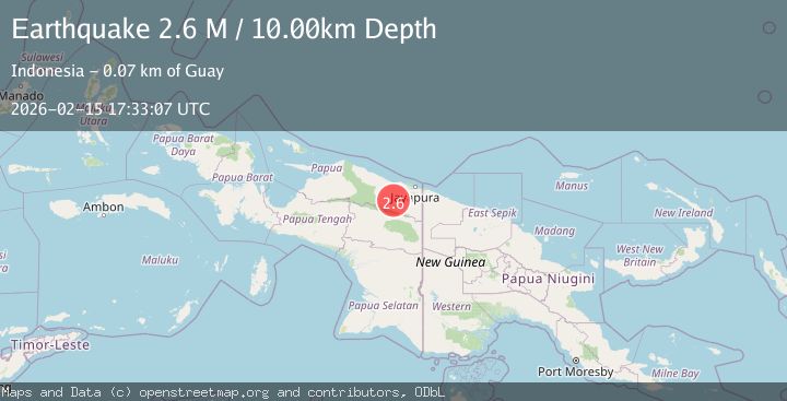
A 2.6 magnitude earthquake struck on West Papua, Indonesia, at Sun, 15 Feb 2026 17:33:07 GMT. Depth: 10km. Reviewed by BMKG seismologists, this minor quake occurred at a magnitude type of M.
Magnitude
2.6
M
Source
BMKG
Intensity
-
Agency Reports
1 Sources| Source | Magnitude | Depth | Time |
|---|---|---|---|
| BMKGPrimary | 2.6 | 10 km | 3 days ago |
Earthquake Details
ManualEvent IDbmg2026dfoj
Tsunami PotentialNo
Magnitude TypeM
Nearest Places
- Abo4.4 km
- Lereh6.2 km
- Distrik Kaureh8.9 km
- Lereh Airport10.4 km
- Tara11.9 km
Comments
Join the discussion about this event.
Latest Earthquakes
2.2Mag
Tarapaca, Chile
Time5 minutes ago
Depth111.94 km
SourceVYT (Automatic)
1.9Mag
Central Alaska
Time6 minutes ago
Depth32.10 km
SourceVYT (Automatic)
3.4Mag
HAWAII REGION, HAWAII
Time6 minutes ago
Depth4.70 km
SourceHV (Automatic)
1.9Mag
STRAIT OF GIBRALTAR
Time10 minutes ago
Depth0.00 km
SourceIGN (Automatic)
3.2Mag
Flores region, Indonesia
Time19 minutes ago
Depth20.02 km
SourceVYT (Automatic)
Nearby Earthquakes
3.0Mag
PAPUA, INDONESIA
Time3 years ago
Depth72.00 km
SourceDJA (Automatic)
5.1Mag
PAPUA, INDONESIA
Time3 years ago
Depth80.00 km
SourceEMSC (Automatic)
2.5Mag
PAPUA, INDONESIA
Time1 month ago
Depth20.00 km
SourceBMKG (Automatic)
5.5Mag
PAPUA, INDONESIA
Time16 years ago
Depth52.00 km
SourceEMSC (Automatic)
5.2Mag
PAPUA, INDONESIA
Time2 years ago
Depth25.00 km
SourceEMSC (Automatic)