Earthquake Minahassa Peninsula, Sulawesi
Mon, 16 Feb 2026 15:26:12 GMT
Time3 days ago
Location
0.2401, 120.5133
Depth
49.6 KM
Event Summary
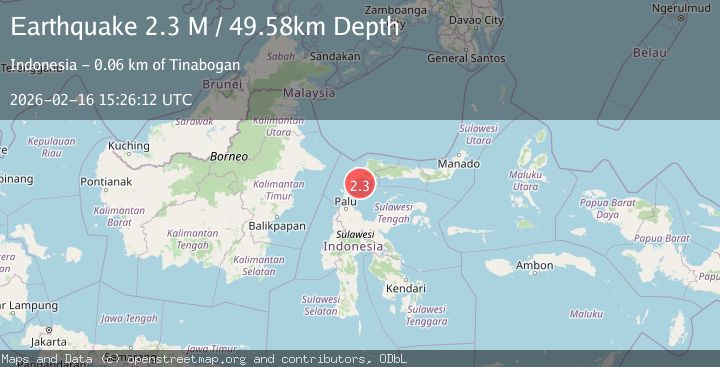
A 2.3 magnitude earthquake struck on Minahassa Peninsula, Sulawesi, at Mon, 16 Feb 2026 15:26:12 GMT. Depth: 49.579823km. Reviewed by BMKG seismologists, this minor quake occurred at a magnitude type of M.
Magnitude
2.3
M
Source
BMKG
Intensity
-
Agency Reports
1 Sources| Source | Magnitude | Depth | Time |
|---|---|---|---|
| BMKGPrimary | 2.3 | 50 km | 3 days ago |
Earthquake Details
ManualEvent IDbmg2026dhfs
Tsunami PotentialNo
Magnitude TypeM
Nearest Places
- Pulau Kubur16.2 km
- Pulau Saluton16.9 km
- Pulau Pasir17.0 km
- Pulau Tobong19.2 km
- Pulau Tobongi19.5 km
Comments
Join the discussion about this event.
Latest Earthquakes
1.5Mag
Tarapaca, Chile
Time14 hours ago
Depth32.84 km
SourceVYT (Automatic)
2.4Mag
Potosi, Bolivia
Time14 hours ago
Depth239.01 km
SourceVYT (Automatic)
2.3Mag
Minahassa Peninsula, Sulawesi
Time14 hours ago
Depth146.04 km
SourceBMKG
1.3Mag
29 km W of Garden City, Texas
Time14 hours ago
Depth3.35 km
SourceUSGS (Automatic)
2.1Mag
6 km NE of Beaverdam, Nevada
Time15 hours ago
Depth11.45 km
SourceUSGS (Automatic)
Nearby Earthquakes
2.6Mag
Minahassa Peninsula, Sulawesi
Time2 weeks ago
Depth32.31 km
SourceBMKG (Automatic)
2.5Mag
Minahassa Peninsula, Sulawesi
Time3 weeks ago
Depth47.66 km
SourceBMKG (Automatic)
5.5Mag
MINAHASA, SULAWESI, INDONESIA
Time14 years ago
Depth79.00 km
SourceEMSC (Automatic)
5.5Mag
MINAHASA, SULAWESI, INDONESIA
Time8 years ago
Depth100.00 km
SourceEMSC (Automatic)
4.0Mag
MINAHASA, SULAWESI, INDONESIA
Time2 years ago
Depth50.00 km
SourceBMKG (Automatic)