Earthquake West Papua, Indonesia
Mon, 16 Feb 2026 20:06:09 GMT
Time2 days ago
Location
-4.3753, 138.6023
Depth
10.0 KM
Event Summary
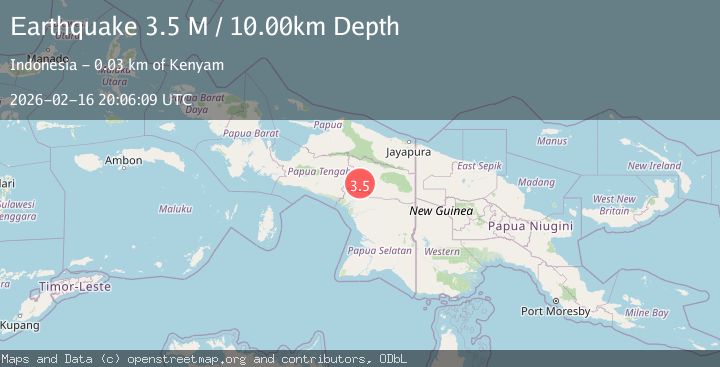
A 3.5 magnitude earthquake struck on West Papua, Indonesia, at Mon, 16 Feb 2026 20:06:09 GMT. Depth: 10km. Reviewed by BMKG seismologists, this minor quake occurred at a magnitude type of M.
Magnitude
3.5
M
Source
BMKG
Intensity
-
Agency Reports
1 Sources| Source | Magnitude | Depth | Time |
|---|---|---|---|
| BMKGPrimary | 3.5 | 10 km | 2 days ago |
Earthquake Details
ManualEvent IDbmg2026dhoy
Tsunami PotentialNo
Magnitude TypeM
Nearest Places
- Pegunungan Weber3.0 km
- Kampung Simiye3.9 km
- Kampung Embuklem7.2 km
- Distrik Iniye7.7 km
- Pegunungan Nevel7.8 km
Comments
Join the discussion about this event.
Latest Earthquakes
2.5Mag
Bering Strait
Time5 hours ago
Depth200.07 km
SourceVYT (Automatic)
2.3Mag
Sumbawa Region, Indonesia
Time5 hours ago
Depth10.00 km
SourceBMKG
1.6Mag
13 km ENE of Falls City, Texas
Time5 hours ago
Depth7.18 km
SourceUSGS (Automatic)
1.5Mag
EASTERN TURKEY
Time5 hours ago
Depth7.00 km
SourceAFAD (Automatic)
1.3Mag
5 km S of Cabazon, CA
Time5 hours ago
Depth5.80 km
SourceUSGS (Automatic)
Nearby Earthquakes
5.0Mag
PAPUA, INDONESIA
Time1 month ago
Depth140.00 km
SourceEMSC (Automatic)
4.0Mag
PAPUA, INDONESIA
Time1 year ago
Depth163.00 km
SourceBMKG (Automatic)
5.1Mag
PAPUA, INDONESIA
Time21 years ago
Depth10.00 km
SourceNEIC (Automatic)
5.0Mag
PAPUA, INDONESIA
Time12 years ago
Depth40.00 km
SourceEMSC (Automatic)
4.0Mag
PAPUA, INDONESIA
Time1 year ago
Depth10.00 km
SourceBMKG (Automatic)