Earthquake Flores Sea
Tue, 17 Feb 2026 02:20:41 GMT
Time1 day ago
Location
-7.8592, 119.0723
Depth
31.7 KM
Event Summary
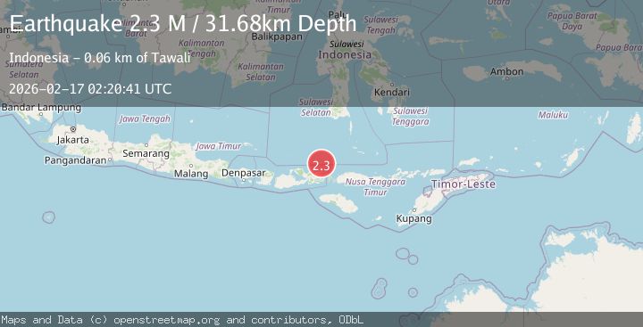
A 2.3 magnitude earthquake struck on Flores Sea, at Tue, 17 Feb 2026 02:20:41 GMT. Depth: 31.675381km. Reviewed by BMKG seismologists, this minor quake occurred at a magnitude type of M.
Magnitude
2.3
M
Source
BMKG
Intensity
-
Agency Reports
1 Sources| Source | Magnitude | Depth | Time |
|---|---|---|---|
| BMKGPrimary | 2.3 | 32 km | 1 day ago |
Earthquake Details
ManualEvent IDbmg2026dibh
Tsunami PotentialNo
Magnitude TypeM
Nearest Places
- Pulau Sangeang37.2 km
- Desa Sangiang37.4 km
- Gunung Api37.5 km
- Gunungapi40.2 km
- Selat Sangeang46.0 km
Comments
Join the discussion about this event.
Latest Earthquakes
1.1Mag
Washington
Time5 minutes ago
Depth9.64 km
SourceVYT (Automatic)
1.9Mag
32 km NW of Toyah, Texas
Time8 minutes ago
Depth4.09 km
SourceUSGS (Automatic)
1.7Mag
western Texas
Time11 minutes ago
Depth3.42 km
SourceVYT (Automatic)
3.8Mag
Seram, Indonesia
Time13 minutes ago
Depth0.00 km
SourceVYT (Automatic)
1.6Mag
54 km WNW of Toyah, Texas
Time18 minutes ago
Depth0.00 km
SourceUSGS (Automatic)
Nearby Earthquakes
2.6Mag
FLORES SEA
Time0 months ago
Depth26.00 km
SourceBMKG (Automatic)
2.3Mag
Flores Sea
Time1 week ago
Depth25.99 km
SourceBMKG (Automatic)
3.2Mag
Flores Sea
Time2 weeks ago
Depth22.19 km
SourceBMKG (Automatic)
4.0Mag
FLORES SEA
Time1 year ago
Depth26.00 km
SourceBMKG (Automatic)
2.5Mag
Flores Sea
Time4 days ago
Depth30.53 km
SourceBMKG