Earthquake Northern Sumatra, Indonesia
Tue, 17 Feb 2026 06:56:43 GMT
Time1 day ago
Location
4.5083, 96.4150
Depth
5.2 KM
Event Summary
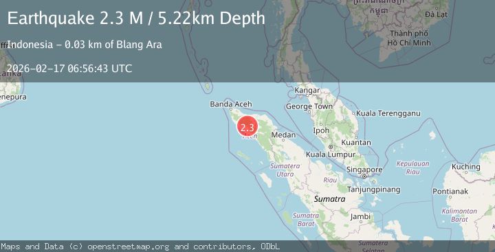
A 2.3 magnitude earthquake struck on Northern Sumatra, Indonesia, at Tue, 17 Feb 2026 06:56:43 GMT. Depth: 5.221949km. Reviewed by BMKG seismologists, this minor quake occurred at a magnitude type of M.
Magnitude
2.3
M
Source
BMKG
Intensity
-
Agency Reports
1 Sources| Source | Magnitude | Depth | Time |
|---|---|---|---|
| BMKGPrimary | 2.3 | 5 km | 1 day ago |
Earthquake Details
ManualEvent IDbmg2026dikk
Tsunami PotentialNo
Magnitude TypeM
Nearest Places
- Gampong Sikundo2.2 km
- Gunung Saya3.8 km
- Krueng Seutong4.1 km
- Gunung Munggok4.4 km
- Gunung Sikundo4.8 km
Comments
Join the discussion about this event.
Latest Earthquakes
1.6Mag
Alaska Peninsula
Time2 hours ago
Depth0.00 km
SourceVYT (Automatic)
1.0Mag
8 km NW of The Geysers, CA
Time2 hours ago
Depth1.53 km
SourceUSGS (Automatic)
2.7Mag
Java, Indonesia
Time2 hours ago
Depth40.72 km
SourceBMKG
1.1Mag
WESTERN TURKEY
Time2 hours ago
Depth7.50 km
SourceAFAD (Automatic)
1.7Mag
Central Alaska
Time2 hours ago
Depth0.00 km
SourceVYT (Automatic)
Nearby Earthquakes
4.0Mag
NORTHERN SUMATRA, INDONESIA
Time1 year ago
Depth10.00 km
SourceBMKG (Automatic)
3.0Mag
NORTHERN SUMATRA, INDONESIA
Time2 years ago
Depth10.00 km
SourceBMKG (Automatic)
2.5Mag
Northern Sumatra, Indonesia
Time2 weeks ago
Depth7.53 km
SourceBMKG (Automatic)
3.0Mag
NORTHERN SUMATRA, INDONESIA
Time1 year ago
Depth10.00 km
SourceBMKG (Automatic)
3.0Mag
NORTHERN SUMATRA, INDONESIA
Time2 years ago
Depth10.00 km
SourceBMKG (Automatic)