Earthquake Sumbawa Region, Indonesia
Tue, 17 Feb 2026 09:28:22 GMT
Time3 days ago
Location
-9.5165, 117.6896
Depth
19.4 KM
Event Summary
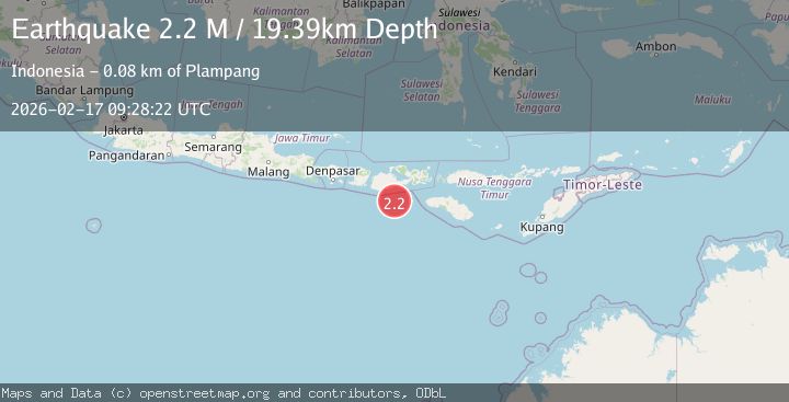
A 2.2 magnitude earthquake struck on Sumbawa Region, Indonesia, at Tue, 17 Feb 2026 09:28:22 GMT. Depth: 19.394026km. Reviewed by BMKG seismologists, this minor quake occurred at a magnitude type of M.
Magnitude
2.2
M
Source
BMKG
Intensity
-
Agency Reports
1 Sources| Source | Magnitude | Depth | Time |
|---|---|---|---|
| BMKGPrimary | 2.2 | 19 km | 3 days ago |
Earthquake Details
ManualEvent IDbmg2026dipk
Tsunami PotentialNo
Magnitude TypeM
Nearest Places
- Tanjung Liongsong57.4 km
- Sungai Dodo60.6 km
- Tanjung Lesek60.6 km
- Nanga Sumpee61.5 km
- Teluk Sarang62.8 km
Comments
Join the discussion about this event.
Latest Earthquakes
2.7Mag
Alaska Peninsula
Time12 minutes ago
Depth7.08 km
SourceVYT (Automatic)
2.4Mag
HAWAII REGION, HAWAII
Time14 minutes ago
Depth11.20 km
SourceHV (Automatic)
3.1Mag
Potosi, Bolivia
Time18 minutes ago
Depth330.08 km
SourceVYT (Automatic)
1.6Mag
EASTERN TURKEY
Time25 minutes ago
Depth19.50 km
SourceAFAD (Automatic)
1.4Mag
4 km W of Lake Henshaw, CA
Time25 minutes ago
Depth12.20 km
SourceUSGS (Automatic)
Nearby Earthquakes
2.0Mag
Sumbawa Region, Indonesia
Time2 weeks ago
Depth23.59 km
SourceBMKG (Automatic)
2.5Mag
SUMBAWA REGION, INDONESIA
Time1 month ago
Depth24.00 km
SourceBMKG (Automatic)
3.0Mag
SUMBAWA REGION, INDONESIA
Time2 years ago
Depth26.00 km
SourceDJA (Automatic)
3.0Mag
SUMBAWA REGION, INDONESIA
Time5 years ago
Depth17.00 km
SourceDJA (Automatic)
3.0Mag
SUMBAWA REGION, INDONESIA
Time2 years ago
Depth28.00 km
SourceBMKG (Automatic)