Earthquake West Papua Region, Indonesia
Wed, 18 Feb 2026 05:56:47 GMT
Time3 hours ago
Location
-3.9524, 135.3640
Depth
10.0 KM
Event Summary
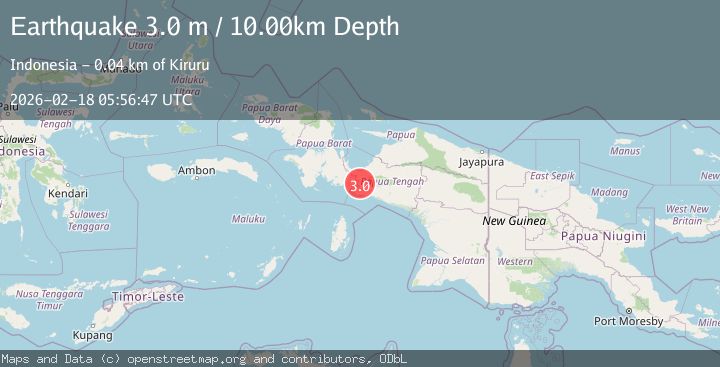
A 3.0 magnitude earthquake struck on West Papua Region, Indonesia, at Wed, 18 Feb 2026 05:56:47 GMT. Depth: 10km. Reviewed by BMKG seismologists, this minor quake occurred at a magnitude type of M.
Magnitude
3.0
M
Source
BMKG
Intensity
-
Agency Reports
1 Sources| Source | Magnitude | Depth | Time |
|---|---|---|---|
| BMKGPrimary | 3.0 | 10 km | 3 hours ago |
Earthquake Details
ManualEvent IDbmg2026dkdx
Tsunami PotentialNo
Magnitude TypeM
Nearest Places
- Kampung Apogomakida4.3 km
- Kampung Ideduwa7.5 km
- Kampung Unito9.0 km
- Distrik Piyaiye11.1 km
- Jabi11.9 km
Comments
Join the discussion about this event.
Latest Earthquakes
2.1Mag
Alaska Peninsula
Time3 hours ago
Depth104.25 km
SourceVYT (Automatic)
1.4Mag
Czech Republic
Time3 hours ago
Depth19.17 km
SourceVYT (Automatic)
2.3Mag
northern Alaska
Time3 hours ago
Depth0.00 km
SourceVYT (Automatic)
1.5Mag
Region Metropolitana, Chile
Time3 hours ago
Depth29.91 km
SourceVYT (Automatic)
2.8Mag
South of Java, Indonesia
Time3 hours ago
Depth14.47 km
SourceBMKG
Nearby Earthquakes
2.7Mag
PAPUA, INDONESIA
Time1 month ago
Depth10.00 km
SourceBMKG (Automatic)
2.5Mag
PAPUA, INDONESIA
Time1 month ago
Depth12.00 km
SourceBMKG (Automatic)
4.0Mag
PAPUA, INDONESIA
Time2 years ago
Depth10.00 km
SourceBMKG (Automatic)
3.0Mag
PAPUA, INDONESIA
Time1 year ago
Depth26.00 km
SourceBMKG (Automatic)
3.0Mag
PAPUA, INDONESIA
Time7 months ago
Depth12.00 km
SourceBMKG (Automatic)