Earthquake Seram, Indonesia
Wed, 18 Feb 2026 12:32:06 GMT
Time7 hours ago
Location
-3.7165, 128.4960
Depth
116.4 KM
Event Summary
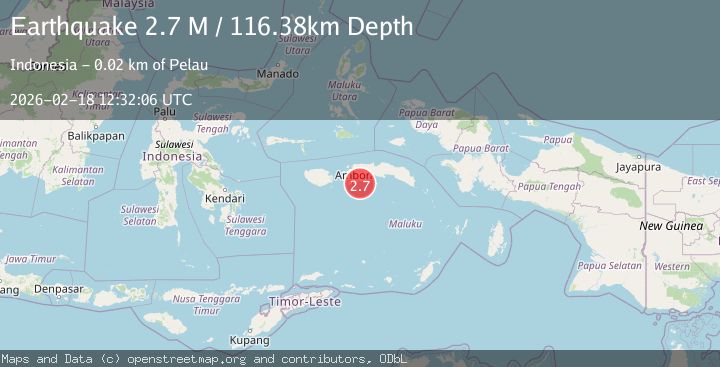
A 2.7 magnitude earthquake struck on Seram, Indonesia, at Wed, 18 Feb 2026 12:32:06 GMT. Depth: 116.380676km. Reviewed by BMKG seismologists, this minor quake occurred at a magnitude type of M.
Magnitude
2.7
M
Source
BMKG
Intensity
-
Agency Reports
1 Sources| Source | Magnitude | Depth | Time |
|---|---|---|---|
| BMKGPrimary | 2.7 | 116 km | 7 hours ago |
Earthquake Details
ManualEvent IDbmg2026dkqy
Tsunami PotentialNo
Magnitude TypeM
Nearest Places
- Tanjung Walsoi Kecil10.8 km
- Wasu10.9 km
- Tanjung Akau11.4 km
- Oma12.1 km
- Aboru12.5 km
Comments
Join the discussion about this event.
Latest Earthquakes
2.2Mag
Sumbawa Region, Indonesia
Time7 hours ago
Depth6.19 km
SourceBMKG
3.2Mag
SOUTH ISLAND OF NEW ZEALAND
Time7 hours ago
Depth11.90 km
SourceGNS (Automatic)
2.8Mag
Antofagasta, Chile
Time7 hours ago
Depth67.26 km
SourceVYT (Automatic)
1.9Mag
13 km SSE of Volcano, Hawaii
Time7 hours ago
Depth2.02 km
SourceUSGS (Automatic)
1.8Mag
northern Alaska
Time7 hours ago
Depth223.88 km
SourceVYT (Automatic)
Nearby Earthquakes
2.7Mag
Seram, Indonesia
Time2 weeks ago
Depth5.99 km
SourceBMKG (Automatic)
4.0Mag
SERAM, INDONESIA
Time6 years ago
Depth10.00 km
SourceDJA (Automatic)
6.5Mag
SERAM, INDONESIA
Time6 years ago
Depth10.00 km
SourceEMSC (Automatic)
3.0Mag
SERAM, INDONESIA
Time1 year ago
Depth10.00 km
SourceBMKG (Automatic)
4.0Mag
SERAM, INDONESIA
Time6 years ago
Depth10.00 km
SourceDJA (Automatic)