Earthquake Southern Sumatra, Indonesia
Wed, 18 Feb 2026 16:27:30 GMT
Time2 hours ago
Location
-5.4167, 102.2766
Depth
39.3 KM
Event Summary
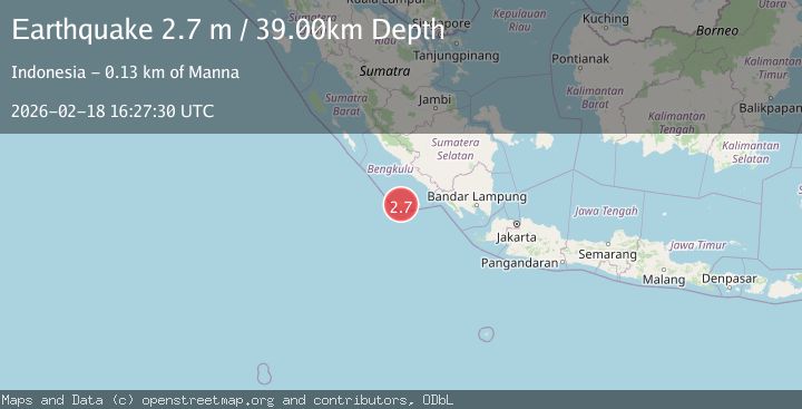
A 2.7 magnitude earthquake struck on Southern Sumatra, Indonesia, at Wed, 18 Feb 2026 16:27:30 GMT. Depth: 39.326553km. Reviewed by BMKG seismologists, this minor quake occurred at a magnitude type of M.
Magnitude
2.7
M
Source
BMKG
Intensity
-
Agency Reports
1 Sources| Source | Magnitude | Depth | Time |
|---|---|---|---|
| BMKGPrimary | 2.7 | 39 km | 2 hours ago |
Earthquake Details
ManualEvent IDbmg2026dkys
Tsunami PotentialNo
Magnitude TypeM
Nearest Places
- Koho Buwabuwa0.8 km
- Desa Malakoni1.9 km
- Pulau Enggano2.2 km
- Desa Kaana2.5 km
- Koho Kipabioo3.4 km
Comments
Join the discussion about this event.
Latest Earthquakes
4.0Mag
SIBUYAN SEA, PHILIPPINES
Time2 hours ago
Depth10.00 km
SourcePIVS (Automatic)
1.8Mag
Southern Alaska
Time2 hours ago
Depth51.51 km
SourceVYT (Automatic)
1.9Mag
11 km E of Pāhala, Hawaii
Time2 hours ago
Depth30.61 km
SourceUSGS (Automatic)
3.2Mag
Antofagasta, Chile
Time2 hours ago
Depth124.27 km
SourceVYT (Automatic)
1.7Mag
Kenai Peninsula, Alaska
Time2 hours ago
Depth28.44 km
SourceVYT (Automatic)
Nearby Earthquakes
5.1Mag
SOUTHERN SUMATRA, INDONESIA
Time3 years ago
Depth30.00 km
SourceEMSC (Automatic)
4.9Mag
SOUTHERN SUMATRA, INDONESIA
Time1 month ago
Depth10.00 km
SourceEMSC (Automatic)
5.6Mag
SOUTHERN SUMATRA, INDONESIA
Time1 month ago
Depth10.00 km
SourceEMSC (Automatic)
5.9Mag
SOUTHERN SUMATRA, INDONESIA
Time11 years ago
Depth10.00 km
SourceEMSC (Automatic)
3.0Mag
SOUTHERN SUMATRA, INDONESIA
Time9 months ago
Depth10.00 km
SourceBMKG (Automatic)