Earthquake Talaud Islands, Indonesia
Wed, 18 Feb 2026 21:23:51 GMT
Time3 hours ago
Location
4.8297, 126.0178
Depth
99.0 KM
Event Summary
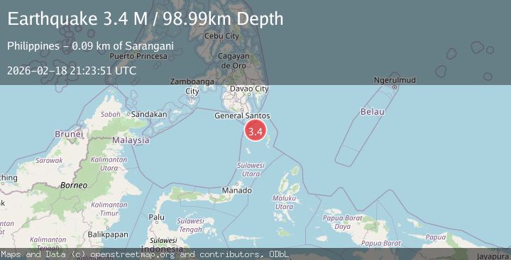
A 3.4 magnitude earthquake struck on Talaud Islands, Indonesia, at Wed, 18 Feb 2026 21:23:51 GMT. Depth: 98.987564km. Reviewed by BMKG seismologists, this minor quake occurred at a magnitude type of M.
Magnitude
3.4
M
Source
BMKG
Intensity
-
Agency Reports
1 Sources| Source | Magnitude | Depth | Time |
|---|---|---|---|
| BMKGPrimary | 3.4 | 99 km | 3 hours ago |
Earthquake Details
ManualEvent IDbmg2026dlin
Tsunami PotentialNo
Magnitude TypeM
Nearest Places
- Sangihe Trough25.7 km
- Pulau Ehise50.6 km
- Pulau Memanu50.6 km
- Desa Matutuang56.9 km
- Pulau Matutuang56.9 km
Comments
Join the discussion about this event.
Latest Earthquakes
2.1Mag
Flores Region, Indonesia
Time3 hours ago
Depth165.90 km
SourceBMKG
2.4Mag
Sumbawa region, Indonesia
Time3 hours ago
Depth19.65 km
SourceVYT (Automatic)
2.1Mag
Poland
Time3 hours ago
Depth1.95 km
SourceVYT (Automatic)
1.7Mag
2 km NW of Enterprise, Nevada
Time3 hours ago
Depth15.89 km
SourceUSGS (Automatic)
1.3Mag
Southeastern Alaska
Time3 hours ago
Depth7.20 km
SourceVYT (Automatic)
Nearby Earthquakes
3.0Mag
KEPULAUAN TALAUD, INDONESIA
Time1 year ago
Depth2.00 km
SourcePIVS (Automatic)
3.0Mag
KEPULAUAN TALAUD, INDONESIA
Time10 months ago
Depth113.00 km
SourcePIVS (Automatic)
3.0Mag
KEPULAUAN SANGIHE, INDONESIA
Time4 years ago
Depth1.00 km
SourcePIVS (Automatic)
5.3Mag
KEPULAUAN TALAUD, INDONESIA
Time10 years ago
Depth100.00 km
SourceEMSC (Automatic)
5.6Mag
KEPULAUAN TALAUD, INDONESIA
Time20 years ago
Depth33.00 km
SourceEMSC (Automatic)