Earthquake Minahassa Peninsula, Sulawesi
Thu, 19 Feb 2026 06:50:31 GMT
Time2 hours ago
Location
-0.6677, 121.7387
Depth
6.6 KM
Event Summary
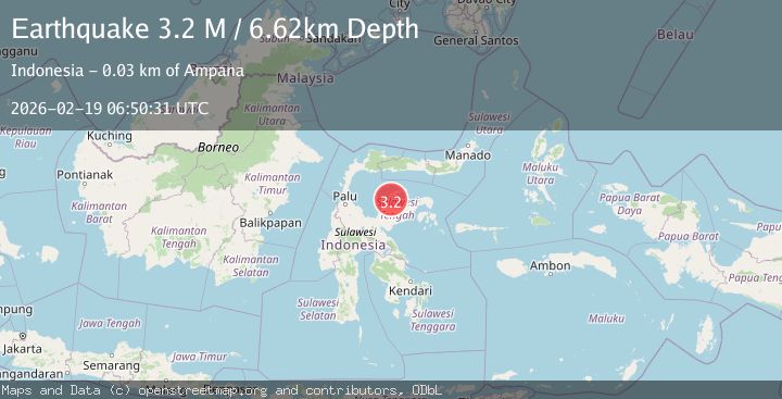
A 3.2 magnitude earthquake struck on Minahassa Peninsula, Sulawesi, at Thu, 19 Feb 2026 06:50:31 GMT. Depth: 6.6156km. Reviewed by BMKG seismologists, this minor quake occurred at a magnitude type of M.
Magnitude
3.2
M
Source
BMKG
Intensity
-
Agency Reports
1 Sources| Source | Magnitude | Depth | Time |
|---|---|---|---|
| BMKGPrimary | 3.2 | 7 km | 2 hours ago |
Earthquake Details
ManualEvent IDbmg2026dmbf
Tsunami PotentialNo
Magnitude TypeM
Nearest Places
- Pulau Bukabuka8.8 km
- Tanjung Cupatanah13.4 km
- Desa Kulingkinari14.1 km
- Desa Molowagu14.3 km
- Molowagu14.7 km
Comments
Join the discussion about this event.
Latest Earthquakes
1.8Mag
Southern Alaska
Time2 hours ago
Depth20.39 km
SourceVYT (Automatic)
2.2Mag
Minahasa, Sulawesi, Indonesia
Time2 hours ago
Depth46.75 km
SourceVYT (Automatic)
1.5Mag
Region Metropolitana, Chile
Time2 hours ago
Depth0.12 km
SourceVYT (Automatic)
2.9Mag
NEAR COAST OF NICARAGUA
Time2 hours ago
Depth20.00 km
SourceINET (Automatic)
2.9Mag
Antofagasta, Chile
Time2 hours ago
Depth143.43 km
SourceVYT (Automatic)
Nearby Earthquakes
3.0Mag
SULAWESI, INDONESIA
Time4 years ago
Depth10.00 km
SourceDJA (Automatic)
4.0Mag
SULAWESI, INDONESIA
Time1 year ago
Depth10.00 km
SourceBMKG (Automatic)
3.6Mag
SULAWESI, INDONESIA
Time1 month ago
Depth10.00 km
SourceBMKG (Automatic)
4.0Mag
SULAWESI, INDONESIA
Time5 years ago
Depth10.00 km
SourceDJA (Automatic)
3.0Mag
SULAWESI, INDONESIA
Time1 month ago
Depth5.00 km
SourceBMKG (Automatic)