Earthquake West Papua Region, Indonesia
Thu, 19 Feb 2026 16:16:37 GMT
Time1 hour ago
Location
-1.5363, 134.3015
Depth
10.0 KM
Event Summary
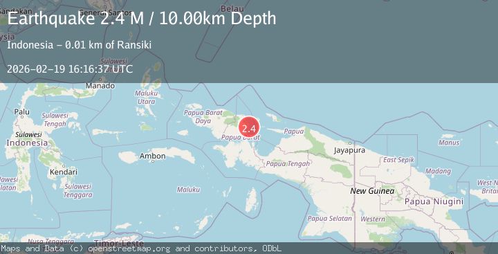
A 2.4 magnitude earthquake struck on West Papua Region, Indonesia, at Thu, 19 Feb 2026 16:16:37 GMT. Depth: 10km. Reviewed by BMKG seismologists, this minor quake occurred at a magnitude type of M.
Magnitude
2.4
M
Source
BMKG
Intensity
-
Agency Reports
1 Sources| Source | Magnitude | Depth | Time |
|---|---|---|---|
| BMKGPrimary | 2.4 | 10 km | 1 hour ago |
Earthquake Details
ManualEvent IDbmg2026dmtw
Tsunami PotentialNo
Magnitude TypeM
Nearest Places
- Tanjung Yori10.4 km
- Rapaolo11.4 km
- Kampung Bamaha11.5 km
- Uwi12.4 km
- Abresso Airport13.1 km
Comments
Join the discussion about this event.
Latest Earthquakes
3.3Mag
Talaud Islands, Indonesia
Time1 hour ago
Depth10.00 km
SourceBMKG
1.1Mag
4 km NW of The Geysers, CA
Time1 hour ago
Depth3.39 km
SourceUSGS (Automatic)
1.0Mag
33 km WSW of Ackerly, Texas
Time1 hour ago
Depth4.44 km
SourceUSGS (Automatic)
2.8Mag
Antofagasta, Chile
Time1 hour ago
Depth0.00 km
SourceVYT (Automatic)
1.7Mag
Tarapaca, Chile
Time1 hour ago
Depth5.37 km
SourceVYT (Automatic)
Nearby Earthquakes
3.0Mag
NEAR N COAST OF PAPUA, INDONESIA
Time3 months ago
Depth22.00 km
SourceBMKG (Automatic)
4.0Mag
near the north coast of Papua, Indonesia
Time1 week ago
Depth0.00 km
SourceVYT (Automatic)
6.6Mag
NEAR N COAST OF PAPUA, INDONESIA
Time13 years ago
Depth10.00 km
SourceEMSC (Automatic)
3.0Mag
NEAR N COAST OF PAPUA, INDONESIA
Time5 months ago
Depth13.00 km
SourceBMKG (Automatic)
5.2Mag
NEAR N COAST OF PAPUA, INDONESIA
Time3 years ago
Depth29.00 km
SourceEMSC (Automatic)