Earthquake West Papua Region, Indonesia
Fri, 20 Feb 2026 23:43:37 GMT
Time1 hour ago
Location
-1.3422, 134.3122
Depth
10.4 KM
Event Summary
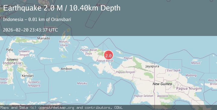
A 2.0 magnitude earthquake struck on West Papua Region, Indonesia, at Fri, 20 Feb 2026 23:43:37 GMT. Depth: 10.401504km. Reviewed by BMKG seismologists, this minor quake occurred at a magnitude type of M.
Magnitude
2.0
M
Source
BMKG
Intensity
-
Agency Reports
1 Sources| Source | Magnitude | Depth | Time |
|---|---|---|---|
| BMKGPrimary | 2.0 | 10 km | 1 hour ago |
Earthquake Details
ManualEvent IDbmg2026dped
Tsunami PotentialNo
Magnitude TypeM
Nearest Places
- 3.9 km
- 6.0 km
- 6.3 km
- 8.1 km
- 8.1 km
Comments
Join the discussion about this event.
Latest Earthquakes
2.3Mag
NEAR THE COAST OF WESTERN TURKEY
Time1 hour ago
Depth6.40 km
SourceKOERI (Automatic)
2.2Mag
Tarapaca, Chile
Time1 hour ago
Depth112.92 km
SourceVYT (Automatic)
1.4Mag
Southern Alaska
Time2 hours ago
Depth64.58 km
SourceVYT (Automatic)
2.7Mag
near the coast of southern Peru
Time2 hours ago
Depth63.11 km
SourceVYT (Automatic)
1.3Mag
11 km WSW of Corona, CA
Time2 hours ago
Depth5.43 km
SourceUSGS (Automatic)
Nearby Earthquakes
2.6Mag
West Papua Region, Indonesia
Time1 week ago
Depth10.00 km
SourceBMKG
3.0Mag
NEAR N COAST OF PAPUA, INDONESIA
Time1 month ago
Depth10.00 km
SourceBMKG (Automatic)
3.0Mag
NEAR N COAST OF PAPUA, INDONESIA
Time4 years ago
Depth12.00 km
SourceDJA (Automatic)
3.5Mag
NEAR N COAST OF PAPUA, INDONESIA
Time1 month ago
Depth15.00 km
SourceBMKG (Automatic)
2.4Mag
West Papua Region, Indonesia
Time1 week ago
Depth10.00 km
SourceBMKG