Earthquake West Papua, Indonesia
Sat, 21 Feb 2026 02:24:18 GMT
Time1 hour ago
Location
-3.9279, 138.6447
Depth
117.7 KM
Event Summary
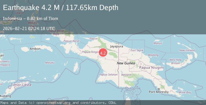
A 4.2 magnitude earthquake struck on West Papua, Indonesia, at Sat, 21 Feb 2026 02:24:18 GMT. Depth: 117.654358km. Reviewed by BMKG seismologists, this light quake occurred at a magnitude type of M.
Magnitude
4.2
M
Source
BMKG
Intensity
-
Agency Reports
1 Sources| Source | Magnitude | Depth | Time |
|---|---|---|---|
| BMKGPrimary | 4.2 | 118 km | 1 hour ago |
Earthquake Details
ManualEvent IDbmg2026dpjl
Tsunami PotentialNo
Magnitude TypeM
Nearest Places
- 0.2 km
- 1.0 km
- 1.4 km
- 1.5 km
- 1.6 km
Comments
Join the discussion about this event.
Latest Earthquakes
0.4Mag
1 km NW of The Geysers, CA
Time1 hour ago
Depth3.94 km
SourceUSGS (Automatic)
3.4Mag
South of Java, Indonesia
Time1 hour ago
Depth10.00 km
SourceBMKG
2.4Mag
Sumbawa Region, Indonesia
Time1 hour ago
Depth23.72 km
SourceBMKG
1.6Mag
STRAIT OF GIBRALTAR
Time1 hour ago
Depth14.50 km
SourceIGN (Automatic)
2.7Mag
Seram, Indonesia
Time1 hour ago
Depth17.14 km
SourceBMKG
Nearby Earthquakes
5.0Mag
PAPUA, INDONESIA
Time11 years ago
Depth30.00 km
SourceEMSC (Automatic)
4.0Mag
Papua, Indonesia
Time1 week ago
Depth100.83 km
SourceVYT (Automatic)
5.0Mag
PAPUA, INDONESIA
Time2 years ago
Depth101.00 km
SourceEMSC (Automatic)
4.0Mag
PAPUA, INDONESIA
Time3 years ago
Depth121.00 km
SourceDJA (Automatic)
5.4Mag
PAPUA, INDONESIA
Time7 years ago
Depth87.00 km
SourceEMSC (Automatic)