Earthquake Northern Molucca Sea
Sat, 21 Feb 2026 17:39:17 GMT
Time1 hour ago
Location
2.3002, 127.2646
Depth
33.4 KM
Event Summary
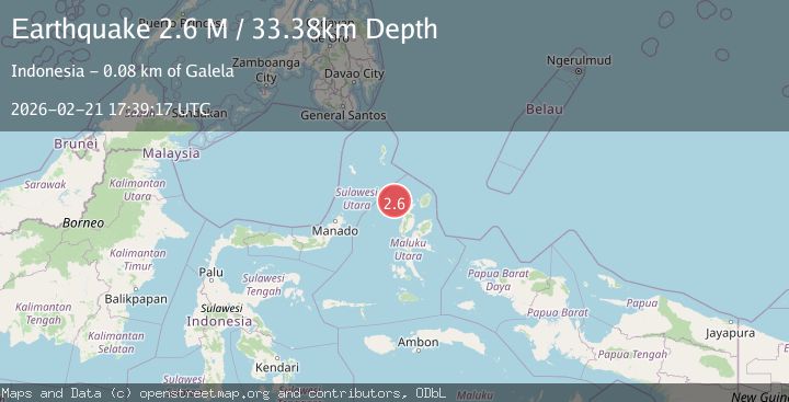
A 2.6 magnitude earthquake struck on Northern Molucca Sea, at Sat, 21 Feb 2026 17:39:17 GMT. Depth: 33.379436km. Reviewed by BMKG seismologists, this minor quake occurred at a magnitude type of M.
Magnitude
2.6
M
Source
BMKG
Intensity
-
Agency Reports
1 Sources| Source | Magnitude | Depth | Time |
|---|---|---|---|
| BMKGPrimary | 2.6 | 33 km | 1 hour ago |
Earthquake Details
ManualEvent IDbmg2026dqnp
Tsunami PotentialNo
Magnitude TypeM
Nearest Places
- 50.9 km
- 52.0 km
- 53.0 km
- 53.5 km
- 54.2 km
Comments
Join the discussion about this event.
Latest Earthquakes
2.6Mag
Antofagasta, Chile
Time1 hour ago
Depth0.00 km
SourceVYT (Automatic)
1.0Mag
5 km NNW of The Geysers, CA
Time1 hour ago
Depth1.49 km
SourceUSGS (Automatic)
2.3Mag
Alaska Peninsula
Time1 hour ago
Depth0.00 km
SourceVYT (Automatic)
2.7Mag
South of Sumbawa, Indonesia
Time1 hour ago
Depth171.85 km
SourceBMKG
0.4Mag
Northern Territory, Australia
Time1 hour ago
Depth0.00 km
SourceVYT (Automatic)
Nearby Earthquakes
3.3Mag
MOLUCCA SEA
Time1 month ago
Depth17.00 km
SourceBMKG (Automatic)
5.1Mag
MOLUCCA SEA
Time5 years ago
Depth80.00 km
SourceEMSC (Automatic)
5.2Mag
MOLUCCA SEA
Time17 years ago
Depth106.00 km
SourceEMSC (Automatic)
4.0Mag
MOLUCCA SEA
Time2 years ago
Depth96.00 km
SourceNEIC (Automatic)
3.0Mag
MOLUCCA SEA
Time1 year ago
Depth18.00 km
SourceBMKG (Automatic)