Earthquake Halmahera, Indonesia
Mon, 23 Feb 2026 01:05:38 GMT
Time1 hour ago
Location
2.0875, 128.6785
Depth
44.8 KM
Event Summary
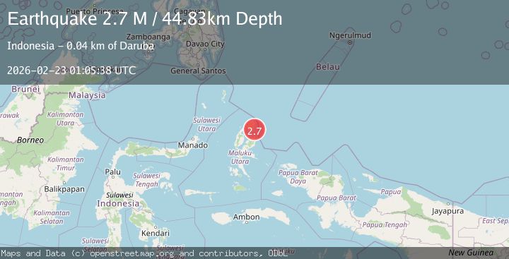
A 2.7 magnitude earthquake struck on Halmahera, Indonesia, at Mon, 23 Feb 2026 01:05:38 GMT. Depth: 44.83km. Reviewed by BMKG seismologists, this minor quake occurred at a magnitude type of M.
Magnitude
2.7
M
Source
BMKG
Intensity
-
Agency Reports
1 Sources| Source | Magnitude | Depth | Time |
|---|---|---|---|
| BMKGPrimary | 2.7 | 45 km | 1 hour ago |
Earthquake Details
ManualEvent IDbmg2026dsxv
Tsunami PotentialNo
Magnitude TypeM
Nearest Places
- 12.6 km
- 12.6 km
- 12.6 km
- 13.1 km
- 13.5 km
Comments
Join the discussion about this event.
Latest Earthquakes
3.1Mag
NORTH ISLAND OF NEW ZEALAND
Time1 hour ago
Depth227.60 km
SourceGNS (Automatic)
1.5Mag
Central Alaska
Time1 hour ago
Depth19.29 km
SourceVYT (Automatic)
0.7Mag
23 km NNE of Ocotillo, CA
Time1 hour ago
Depth8.87 km
SourceUSGS (Automatic)
1.5Mag
13 km ESE of Eureka Roadhouse, Alaska
Time1 hour ago
Depth29.50 km
SourceUSGS (Automatic)
1.1Mag
9 km SW of Lytle Creek, CA
Time1 hour ago
Depth6.50 km
SourceUSGS (Automatic)
Nearby Earthquakes
5.0Mag
HALMAHERA, INDONESIA
Time5 years ago
Depth51.00 km
SourceEMSC (Automatic)
3.0Mag
HALMAHERA, INDONESIA
Time3 years ago
Depth10.00 km
SourceDJA (Automatic)
3.0Mag
Halmahera, Indonesia
Time0 months ago
Depth42.06 km
SourceBMKG (Automatic)
3.5Mag
HALMAHERA, INDONESIA
Time1 month ago
Depth10.00 km
SourceBMKG (Automatic)
5.2Mag
HALMAHERA, INDONESIA
Time1 year ago
Depth49.60 km
SourceEMSC (Automatic)