Earthquake West Papua Region, Indonesia
Mon, 23 Feb 2026 14:30:30 GMT
Time3 hours ago
Location
-4.0874, 133.7464
Depth
91.9 KM
Event Summary
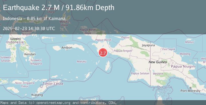
A 2.7 magnitude earthquake struck on West Papua Region, Indonesia, at Mon, 23 Feb 2026 14:30:30 GMT. Depth: 91.862556km. Reviewed by BMKG seismologists, this minor quake occurred at a magnitude type of M.
Magnitude
2.7
M
Source
BMKG
Intensity
-
Agency Reports
1 Sources| Source | Magnitude | Depth | Time |
|---|---|---|---|
| BMKGPrimary | 2.7 | 92 km | 3 hours ago |
Earthquake Details
ManualEvent IDbmg2026dtyj
Tsunami PotentialNo
Magnitude TypeM
Nearest Places
- 25.7 km
- 28.7 km
- 30.9 km
- 31.0 km
- 31.8 km
Comments
Join the discussion about this event.
Latest Earthquakes
3.4Mag
Fox Islands, Aleutian Islands, Alaska
Time3 hours ago
Depth0.00 km
SourceVYT (Automatic)
4.1Mag
Antofagasta, Chile
Time3 hours ago
Depth135.62 km
SourceVYT (Automatic)
3.2Mag
Fox Islands, Aleutian Islands, Alaska
Time3 hours ago
Depth0.00 km
SourceVYT (Automatic)
4.4Mag
ANTOFAGASTA, CHILE
Time3 hours ago
Depth223.00 km
SourceCSN (Automatic)
0.7Mag
4 km W of Lake Henshaw, CA
Time3 hours ago
Depth12.13 km
SourceUSGS (Automatic)
Nearby Earthquakes
3.0Mag
NEAR S COAST OF PAPUA, INDONESIA
Time5 months ago
Depth10.00 km
SourceBMKG (Automatic)
3.5Mag
West Papua Region, Indonesia
Time2 weeks ago
Depth10.00 km
SourceBMKG (Automatic)
5.2Mag
NEAR S COAST OF PAPUA, INDONESIA
Time11 years ago
Depth10.00 km
SourceEMSC (Automatic)
5.2Mag
PAPUA, INDONESIA
Time2 years ago
Depth10.00 km
SourceEMSC (Automatic)
5.0Mag
NEAR S COAST OF PAPUA, INDONESIA
Time9 years ago
Depth10.00 km
SourceEMSC (Automatic)