Earthquake West Papua, Indonesia
Mon, 23 Feb 2026 16:04:20 GMT
Time1 hour ago
Location
-3.1264, 140.0038
Depth
34.6 KM
Event Summary
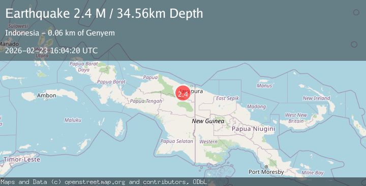
A 2.4 magnitude earthquake struck on West Papua, Indonesia, at Mon, 23 Feb 2026 16:04:20 GMT. Depth: 34.563713km. Reviewed by BMKG seismologists, this minor quake occurred at a magnitude type of M.
Magnitude
2.4
M
Source
BMKG
Intensity
-
Agency Reports
1 Sources| Source | Magnitude | Depth | Time |
|---|---|---|---|
| BMKGPrimary | 2.4 | 35 km | 1 hour ago |
Earthquake Details
ManualEvent IDbmg2026dubm
Tsunami PotentialNo
Magnitude TypeM
Nearest Places
- 6.8 km
- 11.1 km
- 11.6 km
- 12.2 km
- 13.5 km
Comments
Join the discussion about this event.
Latest Earthquakes
1.6Mag
6 km NW of The Geysers, CA
Time1 hour ago
Depth0.31 km
SourceUSGS (Automatic)
1.7Mag
Norway-Russia border region
Time1 hour ago
Depth0.00 km
SourceVYT (Automatic)
2.9Mag
Tarapaca, Chile
Time1 hour ago
Depth12.33 km
SourceVYT (Automatic)
2.8Mag
Antofagasta, Chile
Time1 hour ago
Depth141.24 km
SourceVYT (Automatic)
2.5Mag
Fox Islands, Aleutian Islands, Alaska
Time1 hour ago
Depth3.91 km
SourceVYT (Automatic)
Nearby Earthquakes
3.0Mag
PAPUA, INDONESIA
Time2 months ago
Depth13.00 km
SourceBMKG (Automatic)
3.0Mag
PAPUA, INDONESIA
Time3 years ago
Depth84.00 km
SourceDJA (Automatic)
3.0Mag
PAPUA, INDONESIA
Time2 years ago
Depth37.00 km
SourceDJA (Automatic)
3.0Mag
PAPUA, INDONESIA
Time5 months ago
Depth31.00 km
SourceBMKG (Automatic)
3.0Mag
PAPUA, INDONESIA
Time2 years ago
Depth95.00 km
SourceBMKG (Automatic)