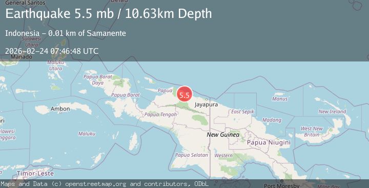
Earthquake Near North Coast of West Papua
Tue, 24 Feb 2026 07:46:49 GMT
Time2 hours ago
Location
-1.9000, 138.9774
Depth
10.0 KM
Event Summary
A 5.5 magnitude earthquake struck on Near North Coast of West Papua, at Tue, 24 Feb 2026 07:46:49 GMT. Depth: 10km. Reviewed by BMKG seismologists, this moderate quake occurred at a magnitude type of M.
Magnitude
5.5
M
Source
BMKG
Intensity
-
Agency Reports
1 Sources| Source | Magnitude | Depth | Time |
|---|---|---|---|
| BMKGPrimary | 5.5 | 10 km | 2 hours ago |
Earthquake Details
ManualEvent IDbmg2026dvgo
Tsunami PotentialNo
Magnitude TypeM
Nearest Places
- 5.5 km
- 5.5 km
- 5-Wakde5.7 km
- 6.1 km
- 7.8 km
Comments
Join the discussion about this event.
Latest Earthquakes
2.5Mag
Fox Islands, Aleutian Islands, Alaska
Time2 hours ago
Depth3.78 km
SourceVYT (Automatic)
2.7Mag
Andreanof Islands, Aleutian Islands, Alaska
Time2 hours ago
Depth33.20 km
SourceVYT (Automatic)
1.8Mag
WESTERN TURKEY
Time2 hours ago
Depth8.90 km
SourceAFAD (Automatic)
3.7Mag
SAN JUAN, ARGENTINA
Time2 hours ago
Depth97.00 km
SourceNSNA (Automatic)
1.8Mag
STRAIT OF GIBRALTAR
Time2 hours ago
Depth0.00 km
SourceIGN (Automatic)
Nearby Earthquakes
3.0Mag
NEAR N COAST OF PAPUA, INDONESIA
Time6 months ago
Depth10.00 km
SourceBMKG (Automatic)
4.0Mag
NEAR N COAST OF PAPUA, INDONESIA
Time4 months ago
Depth25.00 km
SourceBMKG (Automatic)
3.0Mag
NEAR N COAST OF PAPUA, INDONESIA
Time2 months ago
Depth26.00 km
SourceBMKG (Automatic)
4.0Mag
NEAR N COAST OF PAPUA, INDONESIA
Time1 year ago
Depth21.00 km
SourceBMKG (Automatic)
5.1Mag
NEAR N COAST OF PAPUA, INDONESIA
Time16 years ago
Depth20.00 km
SourceEMSC (Automatic)