Earthquake West Papua, Indonesia
Tue, 24 Feb 2026 09:51:21 GMT
Time1 hour ago
Location
-2.0328, 138.9910
Depth
30.1 KM
Event Summary
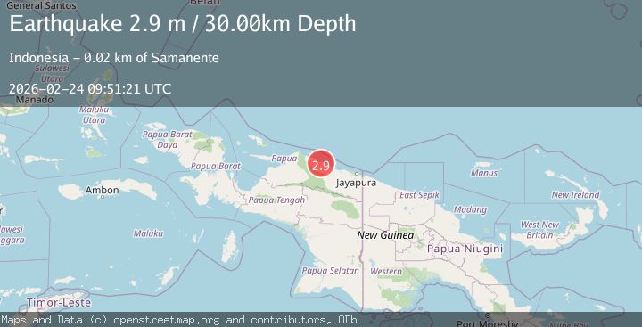
A 2.9 magnitude earthquake struck on West Papua, Indonesia, at Tue, 24 Feb 2026 09:51:21 GMT. Depth: 30.070496km. Reviewed by BMKG seismologists, this minor quake occurred at a magnitude type of M.
Magnitude
2.9
M
Source
BMKG
Intensity
-
Agency Reports
1 Sources| Source | Magnitude | Depth | Time |
|---|---|---|---|
| BMKGPrimary | 2.9 | 30 km | 1 hour ago |
Earthquake Details
ManualEvent IDbmg2026dvkr
Tsunami PotentialNo
Magnitude TypeM
Nearest Places
- 3.0 km
- 3.3 km
- 5.1 km
- 6.3 km
- 7.4 km
Comments
Join the discussion about this event.
Latest Earthquakes
2.0Mag
Central Alaska
Time1 hour ago
Depth273.32 km
SourceVYT (Automatic)
1.5Mag
28 km NW of Toyah, Texas
Time1 hour ago
Depth6.53 km
SourceUSGS (Automatic)
3.1Mag
SALTA, ARGENTINA
Time1 hour ago
Depth188.90 km
SourceCSN (Automatic)
1.2Mag
Western Australia
Time1 hour ago
Depth0.00 km
SourceVYT (Automatic)
4.0Mag
OFFSHORE CHIAPAS, MEXICO
Time1 hour ago
Depth23.50 km
SourceUNM (Automatic)
Nearby Earthquakes
3.0Mag
NEAR N COAST OF PAPUA, INDONESIA
Time6 months ago
Depth22.00 km
SourceBMKG (Automatic)
4.0Mag
NEAR N COAST OF PAPUA, INDONESIA
Time2 months ago
Depth29.00 km
SourceBMKG (Automatic)
5.0Mag
PAPUA, INDONESIA
Time13 years ago
Depth40.00 km
SourceEMSC (Automatic)
3.4Mag
PAPUA, INDONESIA
Time1 month ago
Depth15.00 km
SourceBMKG (Automatic)
5.0Mag
NEAR N COAST OF PAPUA, INDONESIA
Time6 months ago
Depth20.00 km
SourceEMSC (Automatic)