Earthquake Southern Sumatra, Indonesia
Tue, 24 Feb 2026 14:22:47 GMT
Time4 hours ago
Location
-2.4266, 101.9051
Depth
123.8 KM
Event Summary
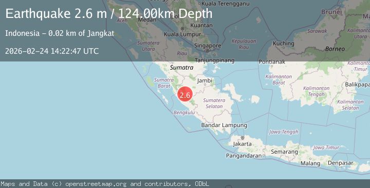
A 2.6 magnitude earthquake struck on Southern Sumatra, Indonesia, at Tue, 24 Feb 2026 14:22:47 GMT. Depth: 123.837273km. Reviewed by BMKG seismologists, this minor quake occurred at a magnitude type of M.
Magnitude
2.6
M
Source
BMKG
Intensity
-
Agency Reports
1 Sources| Source | Magnitude | Depth | Time |
|---|---|---|---|
| BMKGPrimary | 2.6 | 124 km | 4 hours ago |
Earthquake Details
ManualEvent IDbmg2026dvtq
Tsunami PotentialNo
Magnitude TypeM
Nearest Places
- 1.8 km
- 3.7 km
- 4.3 km
- 6.1 km
- 6.5 km
Comments
Join the discussion about this event.
Latest Earthquakes
2.2Mag
Antofagasta, Chile
Time4 hours ago
Depth141.85 km
SourceVYT (Automatic)
4.1Mag
offshore Valparaiso, Chile
Time4 hours ago
Depth0.00 km
SourceVYT (Automatic)
1.0Mag
4 km SE of Portola Valley, CA
Time4 hours ago
Depth10.18 km
SourceUSGS (Automatic)
2.8Mag
Near North Coast of West Papua
Time4 hours ago
Depth10.00 km
SourceBMKG
2.0Mag
SICILY, ITALY
Time4 hours ago
Depth9.20 km
SourceINGV (Automatic)
Nearby Earthquakes
4.0Mag
SOUTHERN SUMATRA, INDONESIA
Time3 years ago
Depth157.00 km
SourceDJA (Automatic)
4.0Mag
SOUTHERN SUMATRA, INDONESIA
Time7 years ago
Depth141.00 km
SourceDJA (Automatic)
3.0Mag
SOUTHERN SUMATRA, INDONESIA
Time2 years ago
Depth144.00 km
SourceBMKG (Automatic)
3.0Mag
SOUTHERN SUMATRA, INDONESIA
Time2 years ago
Depth106.00 km
SourceBMKG (Automatic)
5.0Mag
SOUTHERN SUMATRA, INDONESIA
Time11 years ago
Depth190.00 km
SourceEMSC (Automatic)