Earthquake Tanimbar Islands Region, Indonesia
Wed, 25 Feb 2026 06:24:22 GMT
Time2 hours ago
Location
-7.0660, 130.1478
Depth
167.8 KM
Event Summary
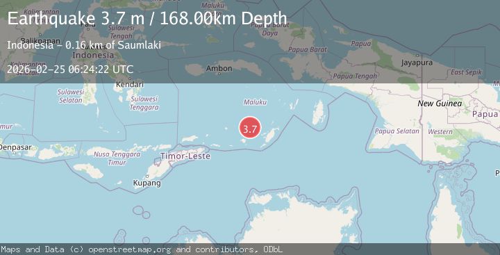
A 3.7 magnitude earthquake struck on Tanimbar Islands Region, Indonesia, at Wed, 25 Feb 2026 06:24:22 GMT. Depth: 167.822922km. Reviewed by BMKG seismologists, this minor quake occurred at a magnitude type of M.
Magnitude
3.7
M
Source
BMKG
Intensity
-
Agency Reports
1 Sources| Source | Magnitude | Depth | Time |
|---|---|---|---|
| BMKGPrimary | 3.7 | 168 km | 2 hours ago |
Earthquake Details
ManualEvent IDbmg2026dwzj
Tsunami PotentialNo
Magnitude TypeM
Nearest Places
- 64.5 km
- 71.7 km
- 72.5 km
- 72.8 km
- 73.0 km
Comments
Join the discussion about this event.
Latest Earthquakes
1.1Mag
9 km NNE of Midland, Texas
Time2 hours ago
Depth4.73 km
SourceUSGS (Automatic)
3.3Mag
Northern Molucca Sea
Time2 hours ago
Depth11.24 km
SourceBMKG
1.5Mag
Southern Alaska
Time2 hours ago
Depth0.12 km
SourceVYT (Automatic)
1.3Mag
Tarapaca, Chile
Time2 hours ago
Depth0.00 km
SourceVYT (Automatic)
1.8Mag
San Pedro Channel, California
Time2 hours ago
Depth15.26 km
SourceVYT (Automatic)
Nearby Earthquakes
5.4Mag
KEP. TANIMBAR REGION, INDONESIA
Time3 years ago
Depth100.00 km
SourceEMSC (Automatic)
4.0Mag
BANDA SEA
Time4 years ago
Depth140.00 km
SourceDJA (Automatic)
5.0Mag
KEP. TANIMBAR REGION, INDONESIA
Time8 years ago
Depth106.00 km
SourceEMSC (Automatic)
5.5Mag
BANDA SEA
Time14 years ago
Depth131.00 km
SourceEMSC (Automatic)
5.0Mag
BANDA SEA
Time17 years ago
Depth86.00 km
SourceEMSC (Automatic)