Earthquake Northern Sumatra, Indonesia
Thu, 26 Feb 2026 11:16:46 GMT
Time2 hours ago
Location
3.0684, 98.4904
Depth
6.9 KM
Event Summary
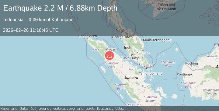
A 2.2 magnitude earthquake struck on Northern Sumatra, Indonesia, at Thu, 26 Feb 2026 11:16:46 GMT. Depth: 6.880811km. Reviewed by BMKG seismologists, this minor quake occurred at a magnitude type of M.
Magnitude
2.2
M
Source
BMKG
Intensity
-
Agency Reports
1 Sources| Source | Magnitude | Depth | Time |
|---|---|---|---|
| BMKGPrimary | 2.2 | 7 km | 2 hours ago |
Earthquake Details
ManualEvent IDbmg2026dzem
Tsunami PotentialNo
Magnitude TypeM
Nearest Places
- 1.2 km
- 1.3 km
- 1.4 km
- 1.5 km
- 1.8 km
Comments
Join the discussion about this event.
Latest Earthquakes
2.9Mag
New Mexico
Time2 hours ago
Depth0.00 km
SourceVYT (Automatic)
2.4Mag
northwestern Russia
Time2 hours ago
Depth0.00 km
SourceVYT (Automatic)
3.4Mag
Potosi, Bolivia
Time2 hours ago
Depth251.46 km
SourceVYT (Automatic)
1.7Mag
Tarapaca, Chile
Time2 hours ago
Depth0.00 km
SourceVYT (Automatic)
1.6Mag
13 km SW of Ojai, CA
Time2 hours ago
Depth8.74 km
SourceUSGS (Automatic)
Nearby Earthquakes
2.7Mag
NORTHERN SUMATRA, INDONESIA
Time1 month ago
Depth2.00 km
SourceBMKG (Automatic)
3.0Mag
NORTHERN SUMATRA, INDONESIA
Time1 month ago
Depth1.00 km
SourceBMKG (Automatic)
3.0Mag
NORTHERN SUMATRA, INDONESIA
Time5 years ago
Depth10.00 km
SourceDJA (Automatic)
3.0Mag
NORTHERN SUMATRA, INDONESIA
Time11 months ago
Depth136.00 km
SourceBMKG (Automatic)
3.0Mag
NORTHERN SUMATRA, INDONESIA
Time3 years ago
Depth10.00 km
SourceDJA (Automatic)