Earthquake Minahassa Peninsula, Sulawesi
Thu, 26 Feb 2026 18:30:41 GMT
Time3 hours ago
Location
0.3460, 122.0189
Depth
187.2 KM
Event Summary
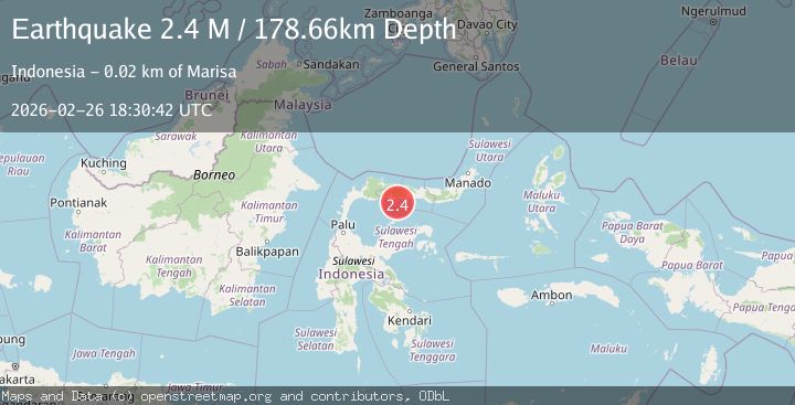
A 2.3 magnitude earthquake struck on Minahassa Peninsula, Sulawesi, at Thu, 26 Feb 2026 18:30:41 GMT. Depth: 187.224731km. Reviewed by BMKG seismologists, this minor quake occurred at a magnitude type of M.
Magnitude
2.3
M
Source
BMKG
Intensity
-
Agency Reports
1 Sources| Source | Magnitude | Depth | Time |
|---|---|---|---|
| BMKGPrimary | 2.3 | 187 km | 3 hours ago |
Earthquake Details
ManualEvent IDbmg2026dzsv
Tsunami PotentialNo
Magnitude TypeM
Nearest Places
- 10.7 km
- 11.9 km
- 12.3 km
- 12.4 km
- 12.6 km
Comments
Join the discussion about this event.
Latest Earthquakes
1.3Mag
Alaska Peninsula
Time3 hours ago
Depth0.00 km
SourceVYT (Automatic)
0.7Mag
8 km NW of The Geysers, CA
Time3 hours ago
Depth1.68 km
SourceUSGS (Automatic)
1.5Mag
Southern Alaska
Time3 hours ago
Depth66.77 km
SourceVYT (Automatic)
1.1Mag
8 km NW of The Geysers, CA
Time3 hours ago
Depth1.73 km
SourceUSGS (Automatic)
2.3Mag
Sumba Region, Indonesia
Time3 hours ago
Depth14.09 km
SourceBMKG
Nearby Earthquakes
3.0Mag
MINAHASA, SULAWESI, INDONESIA
Time10 months ago
Depth171.00 km
SourceBMKG (Automatic)
4.0Mag
MINAHASA, SULAWESI, INDONESIA
Time6 years ago
Depth148.00 km
SourceDJA (Automatic)
3.0Mag
MINAHASA, SULAWESI, INDONESIA
Time5 years ago
Depth170.00 km
SourceDJA (Automatic)
2.5Mag
Minahassa Peninsula, Sulawesi
Time2 weeks ago
Depth180.19 km
SourceBMKG
3.0Mag
MINAHASA, SULAWESI, INDONESIA
Time2 years ago
Depth155.00 km
SourceBMKG (Automatic)