Earthquake West Papua, Indonesia
Fri, 27 Feb 2026 04:25:01 GMT
Time2 hours ago
Location
-3.4109, 140.1721
Depth
27.4 KM
Event Summary
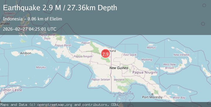
A 2.9 magnitude earthquake struck on West Papua, Indonesia, at Fri, 27 Feb 2026 04:25:01 GMT. Depth: 27.352642km. Reviewed by BMKG seismologists, this minor quake occurred at a magnitude type of M.
Magnitude
2.9
M
Source
BMKG
Intensity
-
Agency Reports
1 Sources| Source | Magnitude | Depth | Time |
|---|---|---|---|
| BMKGPrimary | 2.9 | 27 km | 2 hours ago |
Earthquake Details
ManualEvent IDbmg2026eamk
Tsunami PotentialNo
Magnitude TypeM
Nearest Places
- 13.1 km
- 13.6 km
- 13.8 km
- 14.4 km
- 16.1 km
Comments
Join the discussion about this event.
Latest Earthquakes
1.2Mag
Libertador General Bernardo O'Higgins, Chile
Time2 hours ago
Depth11.47 km
SourceVYT (Automatic)
2.4Mag
Tarapaca, Chile
Time2 hours ago
Depth130.98 km
SourceVYT (Automatic)
1.5Mag
Southern Alaska
Time2 hours ago
Depth2.81 km
SourceVYT (Automatic)
2.5Mag
Sumbawa Region, Indonesia
Time2 hours ago
Depth10.20 km
SourceBMKG
3.0Mag
south of Sumbawa, Indonesia
Time2 hours ago
Depth91.80 km
SourceVYT (Automatic)
Nearby Earthquakes
3.0Mag
PAPUA, INDONESIA
Time2 months ago
Depth38.00 km
SourceBMKG (Automatic)
2.6Mag
West Papua, Indonesia
Time1 month ago
Depth22.39 km
SourceBMKG (Automatic)
3.0Mag
PAPUA, INDONESIA
Time4 years ago
Depth10.00 km
SourceDJA (Automatic)
3.0Mag
PAPUA, INDONESIA
Time3 months ago
Depth20.00 km
SourceBMKG (Automatic)
3.0Mag
PAPUA, INDONESIA
Time4 years ago
Depth22.00 km
SourceDJA (Automatic)