Earthquake Northern Molucca Sea
Fri, 27 Feb 2026 13:18:30 GMT
Time1 hour ago
Location
2.8186, 127.2113
Depth
10.0 KM
Event Summary
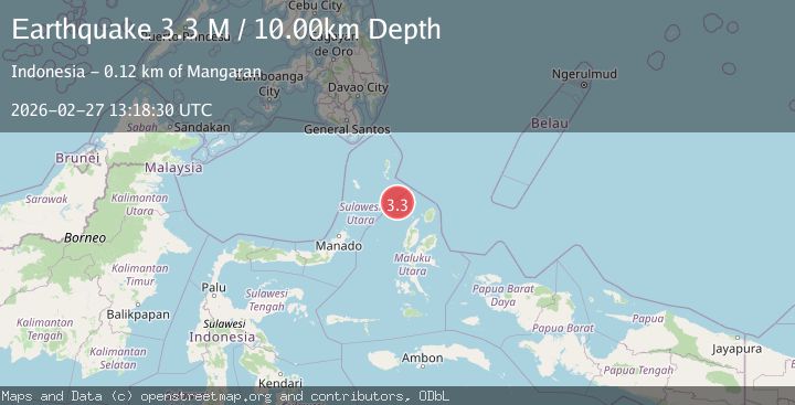
A 3.3 magnitude earthquake struck on Northern Molucca Sea, at Fri, 27 Feb 2026 13:18:30 GMT. Depth: 10km. Reviewed by BMKG seismologists, this minor quake occurred at a magnitude type of M.
Magnitude
3.3
M
Source
BMKG
Intensity
-
Agency Reports
1 Sources| Source | Magnitude | Depth | Time |
|---|---|---|---|
| BMKGPrimary | 3.3 | 10 km | 1 hour ago |
Earthquake Details
ManualEvent IDbmg2026ebea
Tsunami PotentialNo
Magnitude TypeM
Nearest Places
- 62.4 km
- 84.5 km
- 85.4 km
- 87.0 km
- 87.9 km
Comments
Join the discussion about this event.
Latest Earthquakes
1.6Mag
Southern California
Time1 hour ago
Depth10.50 km
SourceVYT (Automatic)
2.0Mag
WESTERN TEXAS
Time1 hour ago
Depth4.20 km
SourceTX (Automatic)
3.5Mag
CENTRAL PERU
Time1 hour ago
Depth20.00 km
SourceLIM (Automatic)
2.6Mag
Fox Islands, Aleutian Islands, Alaska
Time1 hour ago
Depth18.80 km
SourceVYT (Automatic)
2.9Mag
Azerbaijan
Time1 hour ago
Depth1.34 km
SourceVYT (Automatic)
Nearby Earthquakes
4.0Mag
MOLUCCA SEA
Time1 year ago
Depth10.00 km
SourceBMKG (Automatic)
3.0Mag
MOLUCCA SEA
Time8 months ago
Depth27.00 km
SourceBMKG (Automatic)
5.1Mag
MOLUCCA SEA
Time3 years ago
Depth40.00 km
SourceEMSC (Automatic)
3.0Mag
MOLUCCA SEA
Time2 years ago
Depth10.00 km
SourceDJA (Automatic)
4.0Mag
MOLUCCA SEA
Time7 years ago
Depth10.00 km
SourceDJA (Automatic)