Earthquake Bali Region, Indonesia
Sun, 01 Mar 2026 15:28:15 GMT
Time1 hour ago
Location
-8.6531, 114.4659
Depth
97.0 KM
Event Summary
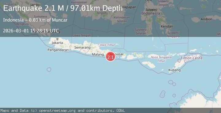
A 2.1 magnitude earthquake struck on Bali Region, Indonesia, at Sun, 01 Mar 2026 15:28:15 GMT. Depth: 97.013313km. Reviewed by BMKG seismologists, this minor quake occurred at a magnitude type of M.
Magnitude
2.1
M
Source
BMKG
Intensity
-
Agency Reports
1 Sources| Source | Magnitude | Depth | Time |
|---|---|---|---|
| BMKGPrimary | 2.1 | 97 km | 1 hour ago |
Earthquake Details
ManualEvent IDbmg2026eezh
Tsunami PotentialNo
Magnitude TypeM
Nearest Places
- 3.0 km
- 4.0 km
- 4.0 km
- 4.1 km
- 4.5 km
Comments
Join the discussion about this event.
Latest Earthquakes
2.4Mag
Maule, Chile
Time1 hour ago
Depth0.00 km
SourceVYT (Automatic)
2.1Mag
18 km NNE of Indio, CA
Time1 hour ago
Depth4.43 km
SourceUSGS (Automatic)
2.0Mag
Central Alaska
Time1 hour ago
Depth54.08 km
SourceVYT (Automatic)
3.7Mag
Kepulauan Talaud, Indonesia
Time1 hour ago
Depth167.85 km
SourceVYT (Automatic)
2.3Mag
Northern Sumatra, Indonesia
Time1 hour ago
Depth3.34 km
SourceBMKG
Nearby Earthquakes
3.0Mag
BALI REGION, INDONESIA
Time1 year ago
Depth88.00 km
SourceBMKG (Automatic)
5.7Mag
BALI REGION, INDONESIA
Time6 years ago
Depth100.00 km
SourceEMSC (Automatic)
2.5Mag
Bali Region, Indonesia
Time1 month ago
Depth105.42 km
SourceBMKG (Automatic)
5.3Mag
BALI REGION, INDONESIA
Time21 years ago
Depth33.00 km
SourceEMSC (Automatic)
2.8Mag
BALI REGION, INDONESIA
Time2 months ago
Depth95.00 km
SourceBMKG (Automatic)