Earthquake Southern Sumatra, Indonesia
Mon, 02 Mar 2026 06:20:59 GMT
Time2 hours ago
Location
-0.3591, 99.6887
Depth
5.4 KM
Event Summary
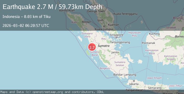
A 2.7 magnitude earthquake struck on Southern Sumatra, Indonesia, at Mon, 02 Mar 2026 06:20:59 GMT. Depth: 5.399767km. Reviewed by BMKG seismologists, this minor quake occurred at a magnitude type of M.
Magnitude
2.7
M
Source
BMKG
Intensity
-
Agency Reports
1 Sources| Source | Magnitude | Depth | Time |
|---|---|---|---|
| BMKGPrimary | 2.7 | 5 km | 2 hours ago |
Earthquake Details
ManualEvent IDbmg2026egct
Tsunami PotentialNo
Magnitude TypeM
Nearest Places
- 14.7 km
- 15.3 km
- 15.4 km
- 16.3 km
- 17.2 km
Comments
Join the discussion about this event.
Latest Earthquakes
3.8Mag
Halmahera, Indonesia
Time2 hours ago
Depth189.09 km
SourceVYT (Automatic)
2.6Mag
Libertador General Bernardo O'Higgins, Chile
Time2 hours ago
Depth23.19 km
SourceVYT (Automatic)
1.4Mag
12 km SSW of San Lucas, CA
Time2 hours ago
Depth12.75 km
SourceUSGS (Automatic)
1.6Mag
WESTERN TURKEY
Time2 hours ago
Depth7.00 km
SourceAFAD (Automatic)
2.1Mag
WESTERN TEXAS
Time2 hours ago
Depth4.50 km
SourceTX (Automatic)
Nearby Earthquakes
2.5Mag
Southern Sumatra, Indonesia
Time2 weeks ago
Depth90.30 km
SourceBMKG
5.0Mag
SOUTHERN SUMATRA, INDONESIA
Time4 years ago
Depth80.00 km
SourceEMSC (Automatic)
3.0Mag
SOUTHERN SUMATRA, INDONESIA
Time2 years ago
Depth40.00 km
SourceBMKG (Automatic)
5.0Mag
SOUTHERN SUMATRA, INDONESIA
Time7 years ago
Depth96.00 km
SourceEMSC (Automatic)
3.0Mag
SOUTHERN SUMATRA, INDONESIA
Time3 years ago
Depth39.00 km
SourceDJA (Automatic)