Earthquake Northern Sumatra, Indonesia
Mon, 02 Mar 2026 14:04:28 GMT
Time2 hours ago
Location
1.9576, 99.0536
Depth
127.9 KM
Event Summary
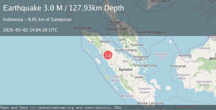
A 3.0 magnitude earthquake struck on Northern Sumatra, Indonesia, at Mon, 02 Mar 2026 14:04:28 GMT. Depth: 127.933693km. Reviewed by BMKG seismologists, this minor quake occurred at a magnitude type of M.
Magnitude
3.0
M
Source
BMKG
Intensity
-
Agency Reports
1 Sources| Source | Magnitude | Depth | Time |
|---|---|---|---|
| BMKGPrimary | 3.0 | 128 km | 2 hours ago |
Earthquake Details
ManualEvent IDbmg2026egsb
Tsunami PotentialNo
Magnitude TypeM
Nearest Places
- 1.3 km
- 1.9 km
- 2.3 km
- 2.3 km
- 2.7 km
Comments
Join the discussion about this event.
Latest Earthquakes
3.0Mag
southern Sumatra, Indonesia
Time2 hours ago
Depth148.56 km
SourceVYT (Automatic)
1.4Mag
Southern Alaska
Time2 hours ago
Depth87.04 km
SourceVYT (Automatic)
1.9Mag
0 km SW of Pāhala, Hawaii
Time2 hours ago
Depth31.10 km
SourceUSGS (Automatic)
1.2Mag
Southern Alaska
Time2 hours ago
Depth1.59 km
SourceVYT (Automatic)
4.2Mag
Antofagasta, Chile
Time2 hours ago
Depth265.75 km
SourceVYT (Automatic)
Nearby Earthquakes
3.0Mag
NORTHERN SUMATRA, INDONESIA
Time4 years ago
Depth106.00 km
SourceDJA (Automatic)
5.1Mag
NORTHERN SUMATRA, INDONESIA
Time1 year ago
Depth129.70 km
SourceEMSC (Automatic)
3.0Mag
NORTHERN SUMATRA, INDONESIA
Time11 months ago
Depth10.00 km
SourceBMKG (Automatic)
5.3Mag
NORTHERN SUMATRA, INDONESIA
Time10 years ago
Depth127.00 km
SourceEMSC (Automatic)
3.0Mag
NORTHERN SUMATRA, INDONESIA
Time3 years ago
Depth10.00 km
SourceDJA (Automatic)