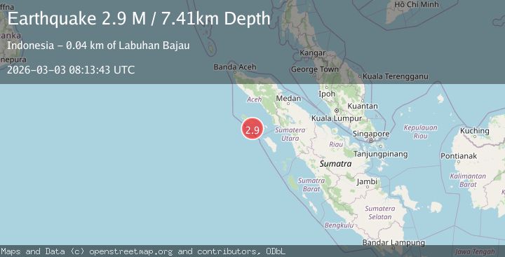
Earthquake Northern Sumatra, Indonesia
Tue, 03 Mar 2026 08:13:43 GMT
Time3 hours ago
Location
2.0282, 96.4433
Depth
7.4 KM
Event Summary
A 2.9 magnitude earthquake struck on Northern Sumatra, Indonesia, at Tue, 03 Mar 2026 08:13:43 GMT. Depth: 7.40731km. Reviewed by BMKG seismologists, this minor quake occurred at a magnitude type of M.
Magnitude
2.9
M
Source
BMKG
Intensity
-
Agency Reports
1 Sources| Source | Magnitude | Depth | Time |
|---|---|---|---|
| BMKGPrimary | 2.9 | 7 km | 3 hours ago |
Earthquake Details
ManualEvent IDbmg2026eibz
Tsunami PotentialNo
Magnitude TypeM
Nearest Places
- 23.6 km
- 23.8 km
- 26.5 km
- 27.3 km
- 30.6 km
Comments
Join the discussion about this event.
Latest Earthquakes
4.0Mag
Andreanof Islands, Aleutian Islands, Alaska
Time3 hours ago
Depth10.00 km
SourceVYT (Automatic)
1.5Mag
western Texas
Time3 hours ago
Depth0.98 km
SourceVYT (Automatic)
1.5Mag
Southern Alaska
Time3 hours ago
Depth0.00 km
SourceVYT (Automatic)
1.1Mag
3 km NE of Colton, CA
Time4 hours ago
Depth13.09 km
SourceUSGS (Automatic)
1.6Mag
Southeastern Alaska
Time4 hours ago
Depth16.36 km
SourceVYT (Automatic)
Nearby Earthquakes
3.0Mag
SIMEULUE, INDONESIA
Time10 months ago
Depth10.00 km
SourceBMKG (Automatic)
3.1Mag
SIMEULUE, INDONESIA
Time1 month ago
Depth10.00 km
SourceBMKG (Automatic)
5.4Mag
SIMEULUE, INDONESIA
Time19 years ago
Depth10.00 km
SourceEMSC (Automatic)
6.5Mag
off the west coast of northern Sumatra
Time7 hours ago
Depth10.00 km
SourceVYT (Automatic)
3.9Mag
off the west coast of northern Sumatra
Time6 hours ago
Depth10.00 km
SourceVYT (Automatic)