Earthquake Off West Coast of Northern Sumatra
Tue, 03 Mar 2026 12:23:49 GMT
Time1 hour ago
Location
1.8065, 96.7705
Depth
7.3 KM
Event Summary
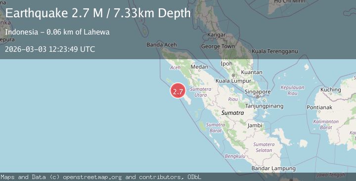
A 2.7 magnitude earthquake struck on Off West Coast of Northern Sumatra, at Tue, 03 Mar 2026 12:23:49 GMT. Depth: 7.332141km. Reviewed by BMKG seismologists, this minor quake occurred at a magnitude type of M.
Magnitude
2.7
M
Source
BMKG
Intensity
-
Agency Reports
1 Sources| Source | Magnitude | Depth | Time |
|---|---|---|---|
| BMKGPrimary | 2.7 | 7 km | 1 hour ago |
Earthquake Details
ManualEvent IDbmg2026eikf
Tsunami PotentialNo
Magnitude TypeM
Nearest Places
- 34.5 km
- 34.7 km
- 42.8 km
- 43.5 km
- 43.6 km
Comments
Join the discussion about this event.
Latest Earthquakes
3.7Mag
Minahasa, Sulawesi, Indonesia
Time1 hour ago
Depth98.75 km
SourceVYT (Automatic)
2.9Mag
western Texas
Time1 hour ago
Depth15.14 km
SourceVYT (Automatic)
2.9Mag
GUATEMALA
Time1 hour ago
Depth4.00 km
SourceINET (Automatic)
2.6Mag
NEAR COAST OF SOUTH AUSTRALIA
Time1 hour ago
Depth5.00 km
SourceAUST (Automatic)
2.1Mag
Poland
Time1 hour ago
Depth7.08 km
SourceVYT (Automatic)
Nearby Earthquakes
5.0Mag
NIAS REGION, INDONESIA
Time17 years ago
Depth10.00 km
SourceEMSC (Automatic)
5.2Mag
NIAS REGION, INDONESIA
Time15 years ago
Depth20.00 km
SourceEMSC (Automatic)
5.0Mag
NIAS REGION, INDONESIA
Time13 years ago
Depth30.00 km
SourceEMSC (Automatic)
5.2Mag
NIAS REGION, INDONESIA
Time15 years ago
Depth18.00 km
SourceEMSC (Automatic)
4.0Mag
NIAS REGION, INDONESIA
Time7 years ago
Depth28.00 km
SourceNEIC (Automatic)