Earthquake Northern Sumatra, Indonesia
Tue, 03 Mar 2026 15:40:09 GMT
Time3 hours ago
Location
2.0872, 96.9663
Depth
10.0 KM
Event Summary
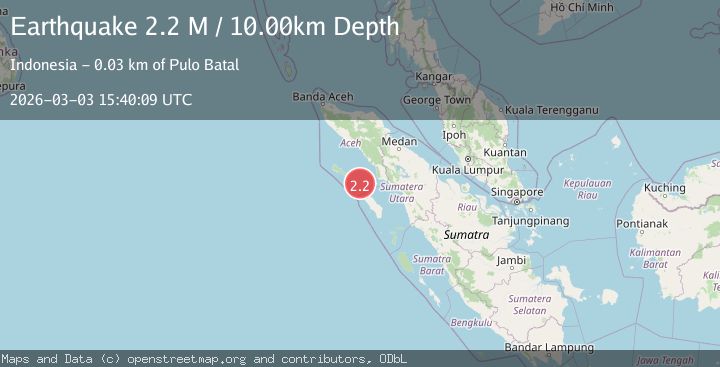
A 2.2 magnitude earthquake struck on Northern Sumatra, Indonesia, at Tue, 03 Mar 2026 15:40:09 GMT. Depth: 10km. Reviewed by BMKG seismologists, this minor quake occurred at a magnitude type of M.
Magnitude
2.2
M
Source
BMKG
Intensity
-
Agency Reports
1 Sources| Source | Magnitude | Depth | Time |
|---|---|---|---|
| BMKGPrimary | 2.2 | 10 km | 3 hours ago |
Earthquake Details
ManualEvent IDbmg2026eiqs
Tsunami PotentialNo
Magnitude TypeM
Nearest Places
- 10.5 km
- 14.3 km
- 14.4 km
- 16.6 km
- 16.6 km
Comments
Join the discussion about this event.
Latest Earthquakes
2.2Mag
western Texas
Time3 hours ago
Depth14.40 km
SourceVYT (Automatic)
2.7Mag
South of Java, Indonesia
Time3 hours ago
Depth32.93 km
SourceBMKG
1.8Mag
Southern Alaska
Time3 hours ago
Depth19.90 km
SourceVYT (Automatic)
3.0Mag
Savu Sea
Time3 hours ago
Depth24.67 km
SourceBMKG
4.6Mag
TAIWAN
Time3 hours ago
Depth8.40 km
SourceCWB (Automatic)
Nearby Earthquakes
6.7Mag
NORTHERN SUMATRA, INDONESIA
Time20 years ago
Depth10.00 km
SourceEMSC (Automatic)
6.0Mag
SIMEULUE, INDONESIA
Time12 years ago
Depth20.00 km
SourceEMSC (Automatic)
5.4Mag
SIMEULUE, INDONESIA
Time20 years ago
Depth10.00 km
SourceEMSC (Automatic)
5.8Mag
SIMEULUE, INDONESIA
Time18 years ago
Depth40.00 km
SourceEMSC (Automatic)
5.5Mag
NORTHERN SUMATRA, INDONESIA
Time20 years ago
Depth15.00 km
SourceEMSC (Automatic)