Earthquake Northern Sumatra, Indonesia
Thu, 12 Mar 2026 08:00:36 GMT
Time2 hours ago
Location
3.6267, 96.9047
Depth
86.8 KM
Event Summary
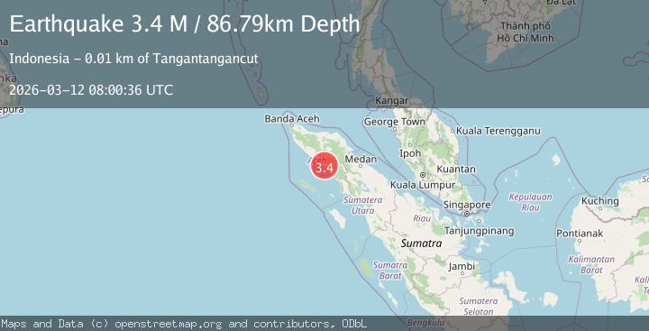
A 3.4 magnitude earthquake struck on Northern Sumatra, Indonesia, at Thu, 12 Mar 2026 08:00:36 GMT. Depth: 86.787865km. Reviewed by BMKG seismologists, this minor quake occurred at a magnitude type of M.
Magnitude
3.4
M
Source
BMKG
Intensity
-
Agency Reports
1 Sources| Source | Magnitude | Depth | Time |
|---|---|---|---|
| BMKGPrimary | 3.4 | 87 km | 2 hours ago |
Earthquake Details
ManualEvent IDbmg2026eynb
QualityS
Tsunami PotentialNo
Magnitude TypeM
Last Update2 hours ago
Nearest Places
- 7.0 km
- 7.1 km
- 14.2 km
- 14.7 km
- 17.8 km
Felt Reports0
Did you feel this earthquake? Report it to help others.
No reports yet
Be the first to report this earthquake!
Latest Earthquakes
Loading...
Nearby Earthquakes
2.0Mag
Northern Sumatra, Indonesia
Time17 hours ago
Depth16.08 km
SourceBMKG
3.1Mag
northern Sumatra, Indonesia
Time17 hours ago
Depth0.00 km
SourceVYT (Automatic)
2.4Mag
Northern Sumatra, Indonesia
Time21 hours ago
Depth12.96 km
SourceBMKG
2.0Mag
Northern Sumatra, Indonesia
Time1 day ago
Depth7.32 km
SourceBMKG
3.0Mag
northern Sumatra, Indonesia
Time1 day ago
Depth63.96 km
SourceVYT (Automatic)