Earthquake Northern Sumatra, Indonesia
Tue, 14 Apr 2026 20:53:14 GMT
Time4 days ago
Location
5.7446, 95.2129
Depth
13.3 KM
Event Summary
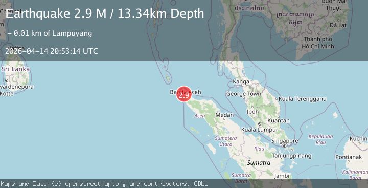
A 2.9 magnitude earthquake struck on Northern Sumatra, Indonesia, at Tue, 14 Apr 2026 20:53:14 GMT. Depth: 13.342751km. Reviewed by BMKG seismologists, this minor quake occurred at a magnitude type of M.
Magnitude
2.9
M
Source
BMKG
Intensity
II
Agency Reports
1 Sources| Source | Magnitude | Depth | Time |
|---|---|---|---|
| BMKGPrimary | 2.9 | 13 km | 4 days ago |
Earthquake Details
ManualEvent IDbmg2026hhuf
QualityS
Tsunami PotentialNo
Magnitude TypeM
Last Update4 days ago
Nearest Places
Possibly felt by: 37.7K
Felt Reports0
Did you feel this earthquake? Report it to help others.
No reports yet
Be the first to report this earthquake!
Latest Earthquakes
Loading...
Nearby Earthquakes
2.3Mag
Northern Sumatra, Indonesia
Time5 days ago
Depth1.27 km
SourceBMKG
2.4Mag
Northern Sumatra, Indonesia
Time6 days ago
Depth6.42 km
SourceBMKG
3.5Mag
northern Sumatra, Indonesia
Time6 days ago
Depth28.08 km
SourceVYT (Automatic)
2.8Mag
Northern Sumatra, Indonesia
Time1 week ago
Depth12.64 km
SourceBMKG
2.1Mag
Northern Sumatra, Indonesia
Time1 week ago
Depth5.00 km
SourceBMKG