Earthquake West Papua Region, Indonesia
Fri, 17 Apr 2026 04:10:22 GMT
Time2 weeks ago
Location
-3.9594, 135.3337
Depth
10.0 KM
Event Summary
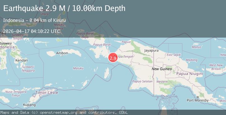
A 2.9 magnitude earthquake struck on West Papua Region, Indonesia, at Fri, 17 Apr 2026 04:10:22 GMT. Depth: 10km. Reviewed by BMKG seismologists, this minor quake occurred at a magnitude type of M.
Magnitude
2.9
M
Source
BMKG
Intensity
I
Agency Reports
1 Sources| Source | Magnitude | Depth | Time |
|---|---|---|---|
| BMKGPrimary | 2.9 | 10 km | 2 weeks ago |
Earthquake Details
ManualEvent IDbmg2026hlzp
QualityS
Tsunami PotentialNo
Magnitude TypeM
Last Update2 weeks ago
Nearest Places
- 40.5 km
Felt Reports0
Did you feel this earthquake? Report it to help others.
No reports yet
Be the first to report this earthquake!
Latest Earthquakes
Loading...
Nearby Earthquakes
2.9Mag
West Papua Region, Indonesia
Time8 hours ago
Depth60.09 km
SourceBMKG
3.6Mag
West Papua Region, Indonesia
Time23 hours ago
Depth10.00 km
SourceBMKG
3.0Mag
West Papua Region, Indonesia
Time2 days ago
Depth13.74 km
SourceBMKG
3.0Mag
West Papua Region, Indonesia
Time3 days ago
Depth10.00 km
SourceBMKG
3.7Mag
West Papua Region, Indonesia
Time3 days ago
Depth29.94 km
SourceBMKG