Earthquake Near North Coast of West Papua
Sat, 18 Apr 2026 21:37:00 GMT
Time2 hours ago
Location
-2.4038, 140.1459
Depth
11.9 KM
Event Summary
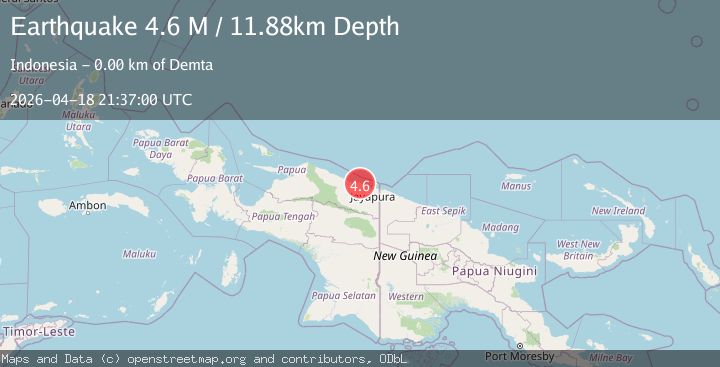
A 4.6 magnitude earthquake struck on Near North Coast of West Papua, at Sat, 18 Apr 2026 21:37:00 GMT. Depth: 11.88033km. Reviewed by BMKG seismologists, this light quake occurred at a magnitude type of M.
Magnitude
4.6
M
Source
BMKG
Intensity
V
Agency Reports
1 Sources| Source | Magnitude | Depth | Time |
|---|---|---|---|
| BMKGPrimary | 4.6 | 12 km | 2 hours ago |
Earthquake Details
ManualEvent IDbmg2026hpdp
QualityS
Tsunami PotentialNo
Magnitude TypeM
Last Update2 hours ago
Nearest Places
Possibly felt by: 151.3K
- 5.0 km
- IVGenyem19.5 km
- IVDepapre26.7 km
- IVSawoi32.4 km
- IVGuay38.9 km
- IIISentani44.7 km
- IIIArmopa57.4 km
- IIIAbepura58.1 km62.2K people
- IIIJayapura65.2 km404K people
- IIArso88.4 km
- IIBetaf104.3 km
- IIWaris114.0 km
- IIBanda123.5 km
- IIVanimo132.1 km11.2K people
- 135.5 km
- 142.4 km
- 158.4 km
- 166.7 km
- 166.8 km
- 184.5 km
- 196.7 km
- 207.2 km
- 211.9 km
Felt Reports0
Did you feel this earthquake? Report it to help others.
No reports yet
Be the first to report this earthquake!
Latest Earthquakes
Loading...
Nearby Earthquakes
2.2Mag
Near North Coast of West Papua
Time1 day ago
Depth21.70 km
SourceBMKG
2.6Mag
Near North Coast of West Papua
Time1 day ago
Depth10.00 km
SourceBMKG
2.1Mag
Near North Coast of West Papua
Time1 day ago
Depth10.00 km
SourceBMKG
2.5Mag
Near North Coast of West Papua
Time2 days ago
Depth10.00 km
SourceBMKG
2.2Mag
Near North Coast of West Papua
Time2 days ago
Depth10.52 km
SourceBMKG