Earthquake North of Halmahera, Indonesia
Tue, 12 May 2026 20:25:12 GMT
Time3 days ago
Location
4.0916, 128.1526
Depth
10.3 KM
Event Summary
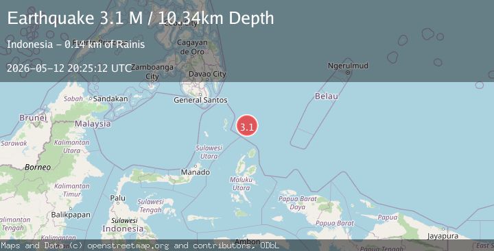
A 3.1 magnitude earthquake struck on North of Halmahera, Indonesia, at Tue, 12 May 2026 20:25:12 GMT. Depth: 10.336km. Reviewed by BMKG seismologists, this minor quake occurred at a magnitude type of M.
Magnitude
3.1
M
Source
BMKG
Intensity
-
Agency Reports
1 Sources| Source | Magnitude | Depth | Time |
|---|---|---|---|
| BMKGPrimary | 3.1 | 10 km | 3 days ago |
Earthquake Details
ManualEvent IDbmg2026jgxi
QualityS
Tsunami PotentialNo
Magnitude TypeM
Last Update3 days ago
Felt Reports0
Did you feel this earthquake? Report it to help others.
No reports yet
Be the first to report this earthquake!
Latest Earthquakes
Loading...
Nearby Earthquakes
3.6Mag
North of Halmahera, Indonesia
Time17 hours ago
Depth57.64 km
SourceBMKG
3.4Mag
Talaud Islands, Indonesia
Time1 week ago
Depth76.39 km
SourceBMKG
3.0Mag
north of Halmahera, Indonesia
Time2 weeks ago
Depth109.25 km
SourceVYT (Automatic)
3.7Mag
North of Halmahera, Indonesia
Time1 month ago
Depth15.80 km
SourceBMKG
4.3Mag
KEPULAUAN TALAUD, INDONESIA
Time1 month ago
Depth133.00 km
SourceBMKG (Automatic)