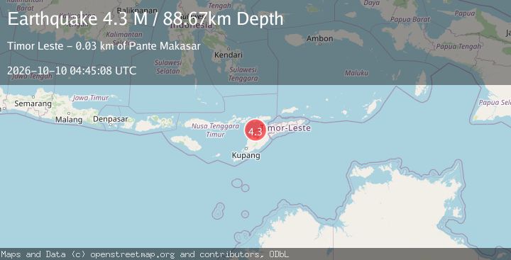
Earthquake Timor Region
Sat, 10 Oct 2026 04:45:08 GMT
Time2 weeks ago
Location
-8.9985, 124.1953
Depth
88.7 KM
Event Summary
A 4.3 magnitude earthquake struck on Timor Region, at Sat, 10 Oct 2026 04:45:08 GMT. Depth: 88.671997km. Reviewed by BMKG seismologists, this light quake occurred at a magnitude type of M.
Magnitude
4.3
M
Source
BMKG
Intensity
II
Agency Reports
3 Sources| Source | Magnitude | Depth | Time |
|---|---|---|---|
| USGSPrimary | 4.4 | 68 km | 2 weeks ago |
| EMSC | 4.4 | 68 km | 2 weeks ago+1s |
| BMKG | 4.3 | 89 km | 2 weeks ago+5s |
Earthquake Details
ManualEvent IDbmg2026tvph
QualityS
Tsunami PotentialNo
Magnitude TypeM
Last Update2 weeks ago
Used Stations24
Nearest Places
Possibly felt by: 84.2K
- 30.5 km4.7K people
- 58.7 km48.2K people
- IIEban63.4 km
- IISasi64.5 km
- IINoemuti71.4 km
- IIBaranusa71.7 km
- IIAtambua77.5 km82.2K people
- 81.4 km2.3K people
- IIKapan82.3 km
- IIPolen82.7 km
- IIKabir82.8 km
- IILelogama83.6 km
- IMoru89.7 km
- 90.0 km
- 90.2 km
- 92.5 km
- 94.0 km
- 95.3 km
- 95.7 km
- 95.9 km
- ISoe96.4 km40.2K people
- 97.0 km
- ISiso97.2 km
- 98.2 km
- 98.7 km
- 98.8 km
- IApui99.3 km
- 99.8 km
- 100.5 km
- 100.6 km
- 100.9 km
- IKie101.8 km
- 103.4 km
- 109.5 km
- 110.2 km
- 110.2 km
- 111.2 km
- 112.5 km22K people
- 116.0 km
- 117.3 km
- 119.1 km16.3K people
- 119.2 km
- 119.3 km
- ISuai121.6 km21.5K people
- 123.5 km
- 123.5 km
- 128.7 km
- 128.9 km
- 131.0 km
- 131.8 km
- 132.0 km
- 134.0 km19K people
- 136.9 km
- 137.9 km
- 139.0 km
- 139.7 km8.1K people
- 141.2 km
- 142.8 km
- 144.2 km12K people
- 145.4 km
- 145.4 km442.8K people
- 145.5 km
- 152.3 km
- 153.2 km
- 153.6 km17.4K people
- 156.4 km
- 158.2 km
- IDili159.2 km150K people
- ISame159.6 km7.5K people
- 165.4 km
- 169.8 km
- IBoru171.4 km
- 177.7 km4K people
Felt Reports0
Did you feel this earthquake? Report it to help others.
No reports yet
Be the first to report this earthquake!