Earthquake NEAR N COAST OF PAPUA, INDONESIA
Thu, 01 Jan 2026 03:26:41 GMT
Time3 hours ago
Location
-1.1400, 137.3100
Depth
10.0 KM
Event Summary
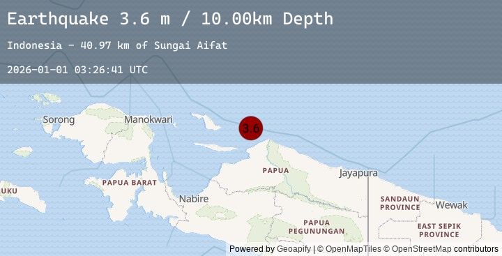
A 3.6 magnitude earthquake struck on NEAR N COAST OF PAPUA, INDONESIA, at Thu, 01 Jan 2026 03:26:41 GMT. Depth: 10km. Reviewed by EMSC seismologists, this minor quake occurred at a magnitude type of m.
Magnitude
3.6
m
Source
EMSC
Intensity
-
Earthquake Details
AutomaticEvent IDemsc_20260101_0000046
Tsunami PotentialNo
Magnitude Typem
Nearest Places
- Sungai Aifat40.9 km
- Wakamba55.8 km
- Sungai Warembari57.3 km
- Poi59.4 km
- Kairembo60.4 km
Comments
Join the discussion about this event.
Latest Earthquakes
1.9Mag
12 km SSW of Alder, Washington
Time3 hours ago
Depth16.99 km
SourceUSGS (Automatic)
3.0Mag
Minahassa Peninsula, Sulawesi
Time3 hours ago
Depth94.61 km
SourceBMKG (Automatic)
3.0Mag
SULAWESI, INDONESIA
Time3 hours ago
Depth95.00 km
SourceEMSC (Automatic)
0.4Mag
6 km ESE of Valle Vista, CA
Time3 hours ago
Depth2.35 km
SourceUSGS (Automatic)
3.7Mag
Banda Sea
Time3 hours ago
Depth102.12 km
SourceBMKG (Automatic)
Nearby Earthquakes
No significant earthquakes nearby recently.