Earthquake SUMBAWA REGION, INDONESIA
Thu, 01 Jan 2026 07:55:03 GMT
Time2 hours ago
Location
-8.8100, 118.9000
Depth
114.0 KM
Event Summary
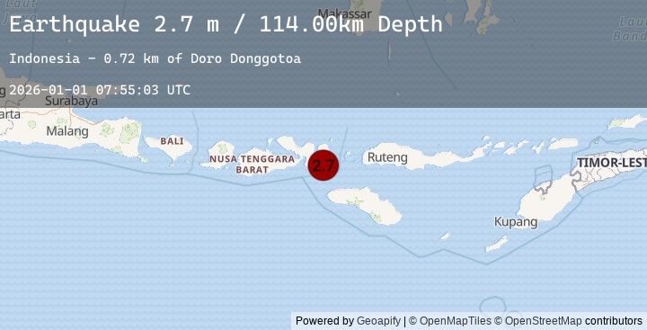
A 2.7 magnitude earthquake struck on SUMBAWA REGION, INDONESIA, at Thu, 01 Jan 2026 07:55:03 GMT. Depth: 114km. Reviewed by EMSC seismologists, this minor quake occurred at a magnitude type of m.
Magnitude
2.7
m
Source
EMSC
Intensity
-
Earthquake Details
AutomaticEvent IDemsc_20260101_0000113
Tsunami PotentialNo
Magnitude Typem
Nearest Places
- Doro Donggotoa0.7 km
- Doro Talbono2.7 km
- Desa Karampi2.7 km
- Doro Tembaompubake2.9 km
- Doro Naru3.0 km
Comments
Join the discussion about this event.
Latest Earthquakes
2.6Mag
Minahassa Peninsula, Sulawesi
Time27 minutes ago
Depth2.91 km
SourceBMKG (Automatic)
1.9Mag
11 km NE of Pāhala, Hawaii
Time34 minutes ago
Depth28.79 km
SourceUSGS (Automatic)
2.4Mag
Sumbawa Region, Indonesia
Time42 minutes ago
Depth57.86 km
SourceBMKG (Automatic)
1.2Mag
WESTERN TURKEY
Time46 minutes ago
Depth7.00 km
SourceEMSC (Automatic)
1.4Mag
80 km N of Karluk, Alaska
Time46 minutes ago
Depth5.00 km
SourceUSGS (Automatic)
Nearby Earthquakes
2.7Mag
Sumbawa Region, Indonesia
Time2 hours ago
Depth114.29 km
SourceBMKG (Automatic)
2.4Mag
Sumbawa Region, Indonesia
Time8 hours ago
Depth106.09 km
SourceBMKG (Automatic)
2.8Mag
SUMBA REGION, INDONESIA
Time13 hours ago
Depth29.00 km
SourceEMSC (Automatic)
2.4Mag
Sumba Region, Indonesia
Time13 hours ago
Depth26.25 km
SourceBMKG (Automatic)
2.3Mag
Sumba Region, Indonesia
Time15 hours ago
Depth16.73 km
SourceBMKG (Automatic)