Earthquake GUAM REGION
Wed, 07 Jan 2026 18:02:00 GMT
Time3 days ago
Location
13.9810, 145.2707
Depth
129.0 KM
Event Summary
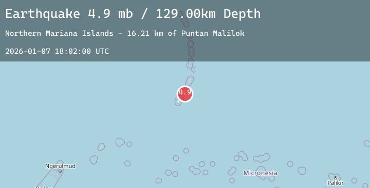
A 4.9 magnitude earthquake struck on GUAM REGION, at Wed, 07 Jan 2026 18:02:00 GMT. Depth: 129km. Reviewed by NEIC seismologists, this light quake occurred at a magnitude type of mb.
Magnitude
4.9
mb
Source
NEIC
Intensity
-
Agency Reports
1 Sources| Source | Magnitude | Depth | Time |
|---|---|---|---|
| NEICPrimary | 4.9 | 129 km | 3 days ago |
Earthquake Details
AutomaticEvent IDemsc_20260107_0000315
Tsunami PotentialNo
Magnitude Typemb
Nearest Places
- Puntan Malilok16.2 km
- South Coast Small Fringing Reefs16.5 km
- Afuefuniya Point16.7 km
- Afatung Wildlife Management Area17.1 km
- Puntan Haina17.2 km
Comments
Join the discussion about this event.
Latest Earthquakes
2.6Mag
Minahassa Peninsula, Sulawesi
Time3 days ago
Depth5.93 km
SourceBMKG (Automatic)
3.0Mag
Northern Molucca Sea
Time3 days ago
Depth18.78 km
SourceBMKG (Automatic)
2.0Mag
CENTRAL TURKEY
Time3 days ago
Depth3.50 km
SourceKOERI (Automatic)
1.5Mag
14 km SE of Mammoth Lakes, CA
Time3 days ago
Depth2.10 km
SourceUSGS (Automatic)
2.2Mag
Sumba Region, Indonesia
Time3 days ago
Depth3.19 km
SourceBMKG (Automatic)
Nearby Earthquakes
No significant earthquakes nearby recently.