Earthquake MYANMAR-INDIA BORDER REGION
Sun, 11 Jan 2026 16:03:05 GMT
Time1 day ago
Location
22.0400, 93.3800
Depth
45.0 KM
Event Summary
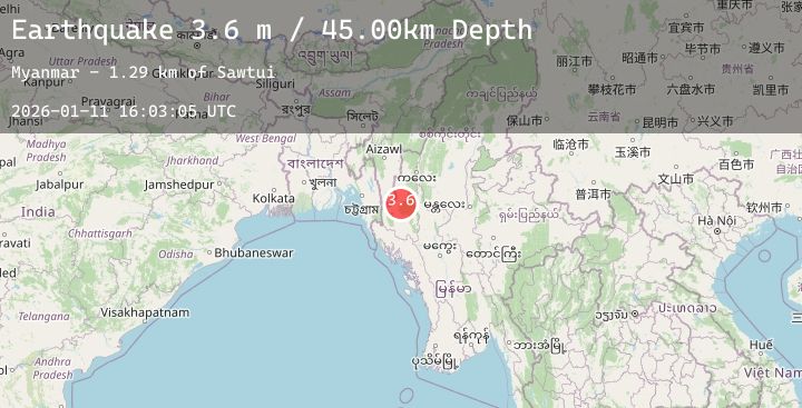
A 3.6 magnitude earthquake struck on MYANMAR-INDIA BORDER REGION, at Sun, 11 Jan 2026 16:03:05 GMT. Depth: 45km. Reviewed by NDI seismologists, this minor quake occurred at a magnitude type of m.
Magnitude
3.6
m
Source
NDI
Intensity
-
Agency Reports
1 Sources| Source | Magnitude | Depth | Time |
|---|---|---|---|
| NDIPrimary | 3.6 | 45 km | 1 day ago |
Earthquake Details
AutomaticEvent IDemsc_20260111_0000244
Tsunami PotentialNo
Magnitude Typem
Nearest Places
- Sawtui1.3 km
- Razua3.9 km
- Lawngthongklang5.0 km
- Zuamang5.7 km
- Ramsai6.4 km
Comments
Join the discussion about this event.
Latest Earthquakes
0.7Mag
5 km NW of The Geysers, CA
Time1 day ago
Depth3.08 km
SourceUSGS (Automatic)
1.4Mag
10 km ENE of Fox, Alaska
Time1 day ago
Depth5.00 km
SourceUSGS (Automatic)
2.2Mag
Bali Region, Indonesia
Time1 day ago
Depth36.98 km
SourceBMKG (Automatic)
1.7Mag
6 km S of Toms Place, CA
Time1 day ago
Depth15.50 km
SourceUSGS (Automatic)
2.5Mag
ISLAND OF HAWAII, HAWAII
Time1 day ago
Depth35.80 km
SourceHV (Automatic)
Nearby Earthquakes
No significant earthquakes nearby recently.