Earthquake PHILIPPINE ISLANDS REGION
Tue, 13 Jan 2026 10:12:47 GMT
Time1 day ago
Location
5.9500, 127.0800
Depth
24.0 KM
Event Summary
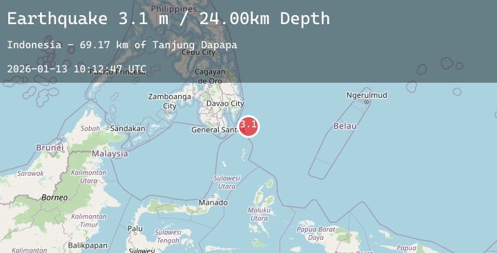
A 3.1 magnitude earthquake struck on PHILIPPINE ISLANDS REGION, at Tue, 13 Jan 2026 10:12:47 GMT. Depth: 24km. Reviewed by PIVS seismologists, this minor quake occurred at a magnitude type of m.
Magnitude
3.1
m
Source
PIVS
Intensity
-
Agency Reports
1 Sources| Source | Magnitude | Depth | Time |
|---|---|---|---|
| PIVSPrimary | 3.1 | 24 km | 1 day ago |
Earthquake Details
AutomaticEvent IDemsc_20260113_0000141
Tsunami PotentialNo
Magnitude Typem
Nearest Places
- Tanjung Dapapa69.1 km
- Desa Pulau Miangas70.1 km
- Pulau Miangas70.2 km
- Kecamatan Miangas70.2 km
- Miangas70.9 km
Comments
Join the discussion about this event.
Latest Earthquakes
3.6Mag
Banda Sea
Time1 day ago
Depth405.57 km
SourceBMKG (Automatic)
2.2Mag
Sumba Region, Indonesia
Time1 day ago
Depth64.62 km
SourceBMKG (Automatic)
2.0Mag
6 km NW of Delta, B.C., MX
Time1 day ago
Depth8.32 km
SourceUSGS (Automatic)
2.8Mag
Java, Indonesia
Time1 day ago
Depth10.34 km
SourceBMKG (Automatic)
2.1Mag
FRANCE
Time1 day ago
Depth5.00 km
SourceReNaSS (Automatic)