Earthquake TURKEY-IRAN-IRAQ BORDER REGION
Tue, 27 Jan 2026 21:17:15 GMT
Time2 months ago
Location
37.0036, 44.8581
Depth
9.3 KM
Event Summary
A 2.1 magnitude earthquake struck on TURKEY-IRAN-IRAQ BORDER REGION, at Tue, 27 Jan 2026 21:17:15 GMT. Depth: 9.3km. Reviewed by AFAD seismologists, this minor quake occurred at a magnitude type of ml.
Magnitude
2.1
ml
Source
AFAD
Intensity
-
Agency Reports
1 Sources| Source | Magnitude | Depth | Time |
|---|---|---|---|
| AFADPrimary | 2.1 | 9 km | 2 months ago |
Earthquake Details
AutomaticEvent IDemsc_AFAD_20260127_0000420
QualityS
Tsunami PotentialNo
Magnitude Typeml
Last Update1 month ago
Felt Reports0
Did you feel this earthquake? Report it to help others.
No reports yet
Be the first to report this earthquake!
Latest Earthquakes
Loading...
Nearby Earthquakes
2.9Mag
Turkey-Iran border region
Time1 week ago
Depth137.82 km
SourceVYT (Automatic)
2.3Mag
NORTHWESTERN IRAN
Time2 weeks ago
Depth7.00 km
SourceAFAD (Automatic)
3.1Mag
IRAN-IRAQ BORDER REGION
Time3 weeks ago
Depth7.00 km
SourceAFAD (Automatic)
2.5Mag
TURKEY-IRAN-IRAQ BORDER REGION
Time1 month ago
Depth14.70 km
SourceAFAD (Automatic)
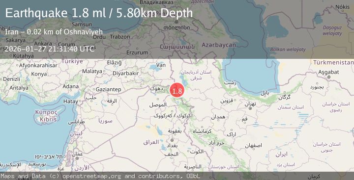
1.8Mag
TURKEY-IRAN-IRAQ BORDER REGION
Time1 month ago
Depth8.70 km
SourceAFAD (Automatic)